Area Overview for RG45 6NH
Photos of RG45 6NH
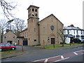
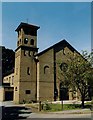
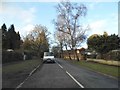
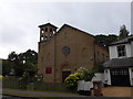
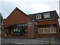
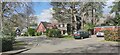
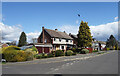
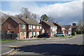
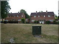
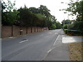
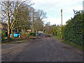
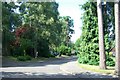
17 photos from this area
Area Information
Key information about the RG45 6NH including its size, population, and administrative classification.
- Area Type
- Postcode
- Area Size
- 9417 m²
- Population
- 1663
- Population Density
- 3311 people/km²
House Prices in RG45 6NH
11
Properties
£481,238
Average Sold Price
£178,000
Lowest Price
£1,400,000
Highest Price
Showing 11 properties
| Address | Type | Beds | Baths | Last Sale Price | Last Sale Date | |
|---|---|---|---|---|---|---|
| 41 Wiltshire Avenue, Crowthorne, RG45 6NH | Detached | 4 | 3 | £1,400,000 | Dec 2022 | |
| 37 Wiltshire Avenue, Crowthorne, RG45 6NH | Bungalow | - | - | £410,000 | Mar 2011 | |
| 35 Wiltshire Avenue, Crowthorne, RG45 6NH | house | - | - | £460,000 | Oct 2010 | |
| 43A Wiltshire Avenue, Crowthorne, RG45 6NH | house | - | - | £442,000 | Mar 2007 | |
| 39 Wiltshire Avenue, Crowthorne, RG45 6NH | Detached | - | - | £499,950 | Dec 2003 | |
| 45 Wiltshire Avenue, Crowthorne, RG45 6NH | Detached | - | - | £210,000 | Oct 2002 | |
| 51 Wiltshire Avenue, Crowthorne, RG45 6NH | Detached | - | - | £249,950 | Mar 2000 | |
| 47 Wiltshire Avenue, Crowthorne, RG45 6NH | Detached | - | - | £178,000 | Dec 1997 | |
| 43 Wiltshire Avenue, Crowthorne, RG45 6NH | Retail | 4 | 2 | - | - | |
| 49 Wiltshire Avenue, Crowthorne, RG45 6NH | Detached | - | - | - | - |
Page 1 of 2
Energy Efficiency in RG45 6NH
Amenities
Schools
| Rank | School | Type | Entry gender | Ages |
|---|
Explore more schools in this area
Go to Schools tabDemographics
Household Size
Family (3-5 people)
most common
Accommodation Type
Houses
most common
Tenure
95
majority
Ethnic Group
White
most common
Religion
N/A
most common
Household Composition
N/A
most common
Age
47
median
Adults (30-64 years)
most common
Household Deprivation
N/A
with no deprivation
NS-SEC
52
in Lower managerial occupations
Explore more demographic insights in this area
Go to Demographics tabPlanning
Planning Constraints
- Flood RiskPremium
- Ramsar Wetland SitesPremium
- Area of Outstanding Natural BeautyPremium
- Protected Nature ReservePremium
- Protected WoodlandPremium