Area Overview for RG45 6LD
Photos of RG45 6LD
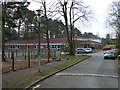
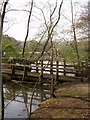
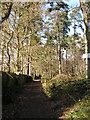
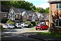
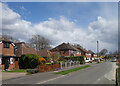
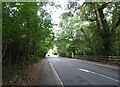
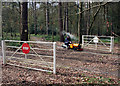
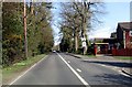
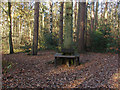
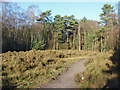
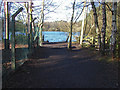
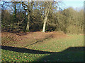
22 photos from this area
Area Information
Key information about the RG45 6LD including its size, population, and administrative classification.
- Area Type
- Postcode
- Area Size
- 3717 m²
- Population
- 1704
- Population Density
- 3111 people/km²
House Prices in RG45 6LD
8
Properties
£395,938
Average Sold Price
£249,000
Lowest Price
£480,000
Highest Price
Showing 8 properties
| Address | Type | Beds | Baths | Last Sale Price | Last Sale Date | |
|---|---|---|---|---|---|---|
| 98 Hatch Ride, Crowthorne, RG45 6LD | house | 4 | - | £395,000 | Feb 2014 | |
| 112 Hatch Ride, Crowthorne, RG45 6LD | Detached | 5 | - | £452,500 | Oct 2013 | |
| 100 Hatch Ride, Crowthorne, RG45 6LD | house | - | - | £387,000 | Dec 2010 | |
| 104 Hatch Ride, Crowthorne, RG45 6LD | Detached | - | - | £480,000 | Sep 2007 | |
| 110 Hatch Ride, Crowthorne, RG45 6LD | Detached | - | - | £419,000 | Apr 2004 | |
| 108 Hatch Ride, Crowthorne, RG45 6LD | Detached | - | - | £400,000 | Mar 2004 | |
| 106 Hatch Ride, Crowthorne, RG45 6LD | Detached | - | - | £249,000 | Nov 2002 | |
| 102 Hatch Ride, Crowthorne, RG45 6LD | Detached | - | - | £385,000 | May 2002 |
Energy Efficiency in RG45 6LD
Amenities
Schools
| Rank | School | Type | Entry gender | Ages |
|---|
Explore more schools in this area
Go to Schools tabDemographics
Household Size
Two person
most common
Accommodation Type
Houses
most common
Tenure
93
majority
Ethnic Group
White
most common
Religion
N/A
most common
Household Composition
N/A
most common
Age
47
median
Adults (30-64 years)
most common
Household Deprivation
N/A
with no deprivation
NS-SEC
55
in Lower managerial occupations
Explore more demographic insights in this area
Go to Demographics tabPlanning
Planning Constraints
- Flood RiskPremium
- Ramsar Wetland SitesPremium
- Area of Outstanding Natural BeautyPremium
- Protected Nature ReservePremium
- Protected WoodlandPremium