Area Overview for RG42 3UD
Photos of RG42 3UD
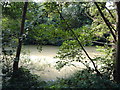
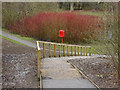
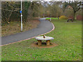
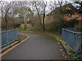
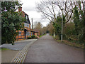
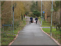
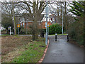
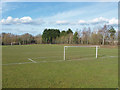
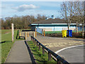
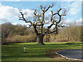
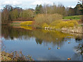
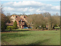
25 photos from this area
Area Information
Key information about the RG42 3UD including its size, population, and administrative classification.
- Area Type
- Postcode
- Area Size
- 7339 m²
- Population
- 1394
- Population Density
- 4761 people/km²
House Prices in RG42 3UD
16
Properties
£368,107
Average Sold Price
£127,500
Lowest Price
£555,000
Highest Price
Showing 16 properties
| Address | Type | Beds | Baths | Last Sale Price | Last Sale Date | |
|---|---|---|---|---|---|---|
| 8 Cressida Chase, Warfield, Bracknell, RG42 3UD | house | 4 | - | £555,000 | Feb 2021 | |
| 16 Cressida Chase, Warfield, Bracknell, RG42 3UD | Detached | 4 | 2 | £460,000 | Nov 2019 | |
| 6 Cressida Chase, Warfield, Bracknell, RG42 3UD | Detached | 4 | - | £470,000 | Sep 2019 | |
| 13 Cressida Chase, Warfield, Bracknell, RG42 3UD | Detached | 3 | - | £425,000 | Oct 2017 | |
| 9 Cressida Chase, Warfield, Bracknell, RG42 3UD | Detached | 3 | 2 | £430,000 | Nov 2016 | |
| 7 Cressida Chase, Warfield, Bracknell, RG42 3UD | Detached | 4 | 2 | £480,000 | Jul 2016 | |
| 1 Cressida Chase, Warfield, Bracknell, RG42 3UD | Detached | 4 | - | £507,000 | Jul 2016 | |
| 2 Cressida Chase, Warfield, Bracknell, RG42 3UD | Detached | 3 | - | £315,000 | Aug 2012 | |
| 4 Cressida Chase, Warfield, Bracknell, RG42 3UD | Detached | 4 | - | £414,000 | Jan 2009 | |
| 10 Cressida Chase, Warfield, Bracknell, RG42 3UD | Detached | 4 | 2 | £279,500 | Oct 2008 |
Page 1 of 2
Energy Efficiency in RG42 3UD
Amenities
Schools
| Rank | School | Type | Entry gender | Ages |
|---|
Explore more schools in this area
Go to Schools tabDemographics
Household Size
Family (3-5 people)
most common
Accommodation Type
Houses
most common
Tenure
71
majority
Ethnic Group
White
most common
Religion
N/A
most common
Household Composition
N/A
most common
Age
47
median
Adults (30-64 years)
most common
Household Deprivation
N/A
with no deprivation
NS-SEC
49
in Lower managerial occupations
Explore more demographic insights in this area
Go to Demographics tabPlanning
Planning Constraints
- Flood RiskPremium
- Ramsar Wetland SitesPremium
- Area of Outstanding Natural BeautyPremium
- Protected Nature ReservePremium
- Protected WoodlandPremium