Area Overview for RG41 1NB
Photos of RG41 1NB
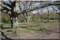
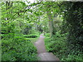
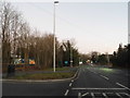
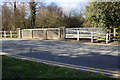
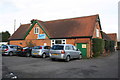
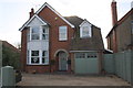
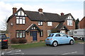
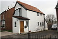
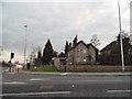
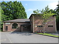
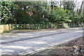
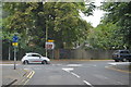
38 photos from this area
Area Information
Key information about the RG41 1NB including its size, population, and administrative classification.
- Area Type
- Postcode
- Area Size
- 1.3 hectares
- Population
- 2584
- Population Density
- 3302 people/km²
House Prices in RG41 1NB
27
Properties
£414,575
Average Sold Price
£161,000
Lowest Price
£670,000
Highest Price
Showing 27 properties
| Address | Type | Beds | Baths | Last Sale Price | Last Sale Date | |
|---|---|---|---|---|---|---|
| 52 Clifton Road, Wokingham, RG41 1NB | Semi-detached | 4 | 2 | £625,000 | Aug 2024 | |
| 30 Clifton Road, Wokingham, RG41 1NB | Semi-detached | 3 | 2 | £408,000 | Oct 2023 | |
| 54 Clifton Road, Wokingham, RG41 1NB | Detached | 4 | 2 | £465,000 | Jan 2021 | |
| 28 Clifton Road, Wokingham, RG41 1NB | Semi-detached | 3 | 1 | £456,000 | Sep 2020 | |
| 36 Clifton Road, Wokingham, RG41 1NB | Semi-detached | 3 | 1 | £440,000 | Apr 2018 | |
| 2 Clifton Road, Wokingham, RG41 1NB | Detached | 4 | - | £670,000 | Mar 2018 | |
| 6 Clifton Road, Wokingham, RG41 1NB | Detached | 4 | - | £540,000 | Jul 2017 | |
| 14 Clifton Road, Wokingham, RG41 1NB | Detached | 3 | - | £475,000 | Jan 2017 | |
| 24 Clifton Road, Wokingham, RG41 1NB | house | - | - | £360,000 | Dec 2016 | |
| 50 Clifton Road, Wokingham, RG41 1NB | Detached | 3 | - | £599,950 | Dec 2015 |
Page 1 of 3
Energy Efficiency in RG41 1NB
Amenities
Schools
| Rank | School | Type | Entry gender | Ages |
|---|
Explore more schools in this area
Go to Schools tabDemographics
Household Size
Family (3-5 people)
most common
Accommodation Type
Houses
most common
Tenure
87
majority
Ethnic Group
White
most common
Religion
N/A
most common
Household Composition
N/A
most common
Age
47
median
Adults (30-64 years)
most common
Household Deprivation
N/A
with no deprivation
NS-SEC
52
in Lower managerial occupations
Explore more demographic insights in this area
Go to Demographics tabPlanning
Planning Constraints
- Flood RiskPremium
- Ramsar Wetland SitesPremium
- Area of Outstanding Natural BeautyPremium
- Protected Nature ReservePremium
- Protected WoodlandPremium