Area Overview for RG40 2HT
Photos of RG40 2HT
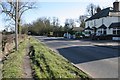
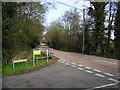
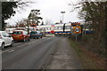
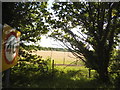
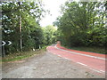
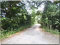
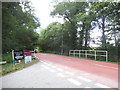
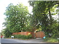
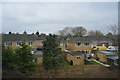
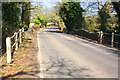
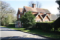
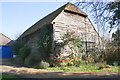
31 photos from this area
Area Information
Key information about the RG40 2HT including its size, population, and administrative classification.
- Area Type
- Postcode
- Area Size
- 6958 m²
- Population
- 2025
- Population Density
- 2843 people/km²
House Prices in RG40 2HT
8
Properties
£471,167
Average Sold Price
£287,000
Lowest Price
£635,000
Highest Price
Showing 8 properties
| Address | Type | Beds | Baths | Last Sale Price | Last Sale Date | |
|---|---|---|---|---|---|---|
| Tall Trees, Green Drive, Wokingham, RG40 2HT | Bungalow | 3 | 1 | £635,000 | Mar 2025 | |
| The Garden Cottage, Green Drive, Wokingham, RG40 2HT | Bungalow | 2 | 1 | £600,000 | Dec 2022 | |
| Penlan, Green Drive, Wokingham, RG40 2HT | Bungalow | 3 | 2 | £500,000 | Aug 2014 | |
| Stepin, Green Drive, Wokingham, RG40 2HT | Bungalow | 3 | - | £500,000 | Feb 2014 | |
| Pinecroft, Green Drive, Wokingham, RG40 2HT | Detached | - | - | £305,000 | Jan 2009 | |
| Satis, Green Drive, Wokingham, RG40 2HT | Detached | - | - | £287,000 | Dec 2006 | |
| Mobile Home, Satis, Green Drive, Wokingham, RG40 2HT | Mobile Home | - | - | - | - | |
| The Coach House, Green Drive, Wokingham, RG40 2HT | house | 3 | - | - | - |
Energy Efficiency in RG40 2HT
Amenities
Schools
| Rank | School | Type | Entry gender | Ages |
|---|
Explore more schools in this area
Go to Schools tabDemographics
Household Size
Family (3-5 people)
most common
Accommodation Type
Houses
most common
Tenure
84
majority
Ethnic Group
White
most common
Religion
N/A
most common
Household Composition
N/A
most common
Age
47
median
Adults (30-64 years)
most common
Household Deprivation
N/A
with no deprivation
NS-SEC
57
in Lower managerial occupations
Explore more demographic insights in this area
Go to Demographics tabPlanning
Planning Constraints
- Flood RiskPremium
- Ramsar Wetland SitesPremium
- Area of Outstanding Natural BeautyPremium
- Protected Nature ReservePremium
- Protected WoodlandPremium