Area Overview for RG4 8QF
Photos of RG4 8QF
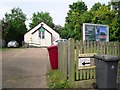
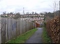
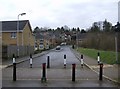
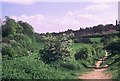
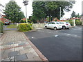
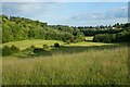
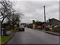
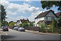
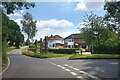
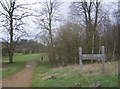
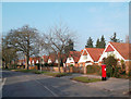
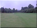
24 photos from this area
Area Information
Key information about the RG4 8QF including its size, population, and administrative classification.
- Area Type
- Postcode
- Area Size
- 3.6 hectares
- Population
- 1454
- Population Density
- 2431 people/km²
House Prices in RG4 8QF
21
Properties
£536,794
Average Sold Price
£195,000
Lowest Price
£828,000
Highest Price
Showing 21 properties
| Address | Type | Beds | Baths | Last Sale Price | Last Sale Date | |
|---|---|---|---|---|---|---|
| 12 Tredegar Road, Emmer Green, Reading, RG4 8QF | Detached | 4 | 1 | £565,000 | Sep 2024 | |
| 28 Tredegar Road, Emmer Green, Reading, RG4 8QF | house | - | - | £645,000 | Dec 2022 | |
| 10 Tredegar Road, Emmer Green, Reading, RG4 8QF | Detached | 5 | 3 | £828,000 | Nov 2022 | |
| 30 Tredegar Road, Emmer Green, Reading, RG4 8QF | house | - | - | £580,000 | Apr 2021 | |
| 22 Tredegar Road, Emmer Green, Reading, RG4 8QF | house | - | - | £511,000 | Nov 2020 | |
| 44 Tredegar Road, Emmer Green, Reading, RG4 8QF | Detached | 5 | 3 | £675,000 | Mar 2020 | |
| 18 Tredegar Road, Emmer Green, Reading, RG4 8QF | house | - | - | £590,000 | May 2018 | |
| 46 Tredegar Road, Emmer Green, Reading, RG4 8QF | Detached | 5 | 3 | £720,000 | Mar 2018 | |
| 38 Tredegar Road, Emmer Green, Reading, RG4 8QF | Detached | 4 | 1 | £616,500 | Jan 2017 | |
| 6 Tredegar Road, Emmer Green, Reading, RG4 8QF | house | - | - | £485,000 | Dec 2014 |
Page 1 of 3
Energy Efficiency in RG4 8QF
Amenities
Schools
| Rank | School | Type | Entry gender | Ages |
|---|
Explore more schools in this area
Go to Schools tabDemographics
Household Size
Family (3-5 people)
most common
Accommodation Type
Houses
most common
Tenure
91
majority
Ethnic Group
White
most common
Religion
N/A
most common
Household Composition
N/A
most common
Age
47
median
Adults (30-64 years)
most common
Household Deprivation
N/A
with no deprivation
NS-SEC
53
in Lower managerial occupations
Explore more demographic insights in this area
Go to Demographics tabPlanning
Planning Constraints
- Flood RiskPremium
- Ramsar Wetland SitesPremium
- Area of Outstanding Natural BeautyPremium
- Protected Nature ReservePremium
- Protected WoodlandPremium