Area Overview for RG4 8LS
Photos of RG4 8LS
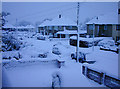
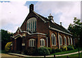
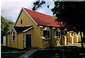
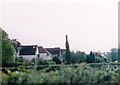
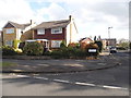
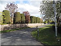
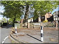
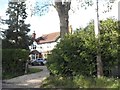
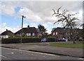
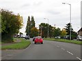
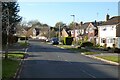
36 photos from this area
Area Information
Key information about the RG4 8LS including its size, population, and administrative classification.
- Area Type
- Postcode
- Area Size
- 8723 m²
- Population
- 1863
- Population Density
- 3916 people/km²
House Prices in RG4 8LS
25
Properties
£295,145
Average Sold Price
£180,000
Lowest Price
£425,000
Highest Price
Showing 25 properties
| Address | Type | Beds | Baths | Last Sale Price | Last Sale Date | |
|---|---|---|---|---|---|---|
| 2 Bellingham Walk, Emmer Green, Reading, RG4 8LS | Terraced | 3 | 1 | £375,000 | Feb 2025 | |
| 18 Bellingham Walk, Emmer Green, Reading, RG4 8LS | Terraced | 3 | 1 | £385,000 | Nov 2022 | |
| 14 Bellingham Walk, Emmer Green, Reading, RG4 8LS | Terraced | 3 | 1 | £425,000 | May 2022 | |
| 8 Bellingham Walk, Emmer Green, Reading, RG4 8LS | Semi-detached | 3 | 1 | £367,500 | Jun 2021 | |
| 12 Bellingham Walk, Emmer Green, Reading, RG4 8LS | Terraced | 3 | 1 | £330,000 | Dec 2017 | |
| 46 Bellingham Walk, Emmer Green, Reading, RG4 8LS | Terraced | 3 | 2 | £230,000 | Feb 2013 | |
| 44 Bellingham Walk, Emmer Green, Reading, RG4 8LS | house | - | - | £215,000 | Jun 2010 | |
| 30 Bellingham Walk, Emmer Green, Reading, RG4 8LS | Terraced | - | - | £211,000 | Jul 2008 | |
| 24 Bellingham Walk, Emmer Green, Reading, RG4 8LS | Terraced | 3 | 1 | £232,950 | May 2007 | |
| 48 Bellingham Walk, Emmer Green, Reading, RG4 8LS | Terraced | 3 | 1 | £180,000 | Nov 2005 |
Page 1 of 3
Energy Efficiency in RG4 8LS
Amenities
Schools
| Rank | School | Type | Entry gender | Ages |
|---|
Explore more schools in this area
Go to Schools tabDemographics
Household Size
Family (3-5 people)
most common
Accommodation Type
Houses
most common
Tenure
71
majority
Ethnic Group
White
most common
Religion
N/A
most common
Household Composition
N/A
most common
Age
47
median
Adults (30-64 years)
most common
Household Deprivation
N/A
with no deprivation
NS-SEC
43
in Lower managerial occupations
Explore more demographic insights in this area
Go to Demographics tabPlanning
Planning Constraints
- Flood RiskPremium
- Ramsar Wetland SitesPremium
- Area of Outstanding Natural BeautyPremium
- Protected Nature ReservePremium
- Protected WoodlandPremium