Area Overview for RG4 8ET
Photos of RG4 8ET
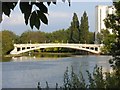
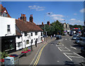
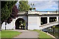
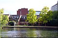
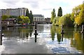
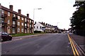
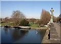
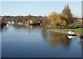
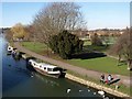
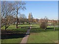
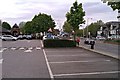
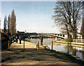
100 photos from this area
Area Information
Key information about the RG4 8ET including its size, population, and administrative classification.
- Area Type
- Postcode
- Area Size
- 5.0 hectares
- Population
- 1699
- Population Density
- 4275 people/km²
House Prices in RG4 8ET
35
Properties
£256,471
Average Sold Price
£125,000
Lowest Price
£395,000
Highest Price
Showing 35 properties
| Address | Type | Beds | Baths | Last Sale Price | Last Sale Date | |
|---|---|---|---|---|---|---|
| 31 Tamesis Place, Caversham, Reading, RG4 8ET | Flat | 2 | 2 | £345,000 | Aug 2024 | |
| 4 Tamesis Place, Caversham, Reading, RG4 8ET | Flat | 2 | 2 | £339,000 | Sep 2023 | |
| 18 Tamesis Place, Caversham, Reading, RG4 8ET | Flat | 2 | 2 | £370,000 | Dec 2022 | |
| 9 Tamesis Place, Caversham, Reading, RG4 8ET | Flat | - | - | £395,000 | Jul 2022 | |
| 24 Tamesis Place, Caversham, Reading, RG4 8ET | Flat | 2 | 2 | £390,000 | Jun 2021 | |
| 7 Tamesis Place, Caversham, Reading, RG4 8ET | Flat | - | - | £362,500 | Mar 2021 | |
| 3 Tamesis Place, Caversham, Reading, RG4 8ET | Flat | - | - | £302,500 | Feb 2021 | |
| 25 Tamesis Place, Caversham, Reading, RG4 8ET | Flat | - | - | £347,000 | Jan 2021 | |
| 27 Tamesis Place, Caversham, Reading, RG4 8ET | Flat | - | - | £317,000 | Jan 2021 | |
| 28 Tamesis Place, Caversham, Reading, RG4 8ET | Flat | - | - | £305,000 | Mar 2020 |
Page 1 of 4
Energy Efficiency in RG4 8ET
Amenities
Schools
| Rank | School | Type | Entry gender | Ages |
|---|
Explore more schools in this area
Go to Schools tabDemographics
Household Size
Two person
most common
Accommodation Type
Houses
most common
Tenure
59
majority
Ethnic Group
White
most common
Religion
N/A
most common
Household Composition
N/A
most common
Age
47
median
Adults (30-64 years)
most common
Household Deprivation
N/A
with no deprivation
NS-SEC
55
in Lower managerial occupations
Explore more demographic insights in this area
Go to Demographics tabPlanning
Planning Constraints
- Flood RiskPremium
- Ramsar Wetland SitesPremium
- Area of Outstanding Natural BeautyPremium
- Protected Nature ReservePremium
- Protected WoodlandPremium