Area Overview for RG4 7QE
Photos of RG4 7QE
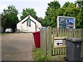
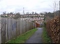
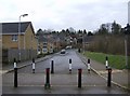
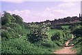
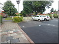
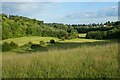
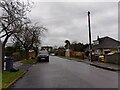
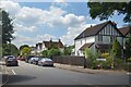
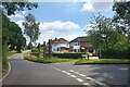
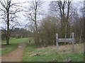
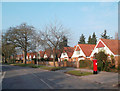
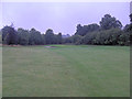
24 photos from this area
Area Information
Key information about the RG4 7QE including its size, population, and administrative classification.
- Area Type
- Postcode
- Area Size
- 1.3 hectares
- Population
- 1754
- Population Density
- 3968 people/km²
House Prices in RG4 7QE
32
Properties
£332,152
Average Sold Price
£127,000
Lowest Price
£850,000
Highest Price
Showing 32 properties
| Address | Type | Beds | Baths | Last Sale Price | Last Sale Date | |
|---|---|---|---|---|---|---|
| 2 Wrenfield Drive, Caversham, Reading, RG4 7QE | Detached | 3 | 1 | £850,000 | Nov 2023 | |
| 33 Wrenfield Drive, Caversham, Reading, RG4 7QE | Semi-detached | 3 | 1 | £550,000 | Oct 2023 | |
| 18 Wrenfield Drive, Caversham, Reading, RG4 7QE | house | - | - | £555,000 | Oct 2022 | |
| 35 Wrenfield Drive, Caversham, Reading, RG4 7QE | house | - | - | £560,000 | Oct 2022 | |
| 6 Wrenfield Drive, Caversham, Reading, RG4 7QE | house | - | - | £482,000 | Sep 2021 | |
| 12 Wrenfield Drive, Caversham, Reading, RG4 7QE | house | - | - | £421,000 | Mar 2021 | |
| 29 Wrenfield Drive, Caversham, Reading, RG4 7QE | house | - | - | £395,000 | Aug 2020 | |
| 16 Wrenfield Drive, Caversham, Reading, RG4 7QE | Detached | 3 | - | £440,000 | Mar 2019 | |
| 4 Wrenfield Drive, Caversham, Reading, RG4 7QE | Semi-detached | 4 | 3 | £479,000 | Apr 2016 | |
| 7 Wrenfield Drive, Caversham, Reading, RG4 7QE | Maisonette | - | - | £253,500 | Mar 2016 |
Page 1 of 4
Energy Efficiency in RG4 7QE
Amenities
Schools
| Rank | School | Type | Entry gender | Ages |
|---|
Explore more schools in this area
Go to Schools tabDemographics
Household Size
Family (3-5 people)
most common
Accommodation Type
Houses
most common
Tenure
88
majority
Ethnic Group
White
most common
Religion
N/A
most common
Household Composition
N/A
most common
Age
47
median
Adults (30-64 years)
most common
Household Deprivation
N/A
with no deprivation
NS-SEC
57
in Lower managerial occupations
Explore more demographic insights in this area
Go to Demographics tabPlanning
Planning Constraints
- Flood RiskPremium
- Ramsar Wetland SitesPremium
- Area of Outstanding Natural BeautyPremium
- Protected Nature ReservePremium
- Protected WoodlandPremium