Area Overview for RG4 7LJ
Photos of RG4 7LJ
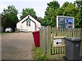
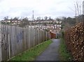
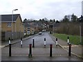
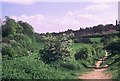
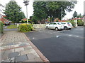
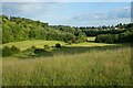
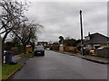
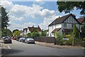
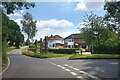
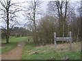
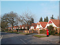
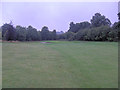
24 photos from this area
Area Information
Key information about the RG4 7LJ including its size, population, and administrative classification.
- Area Type
- Postcode
- Area Size
- 6359 m²
- Population
- 1576
- Population Density
- 3474 people/km²
House Prices in RG4 7LJ
10
Properties
£387,850
Average Sold Price
£220,000
Lowest Price
£620,000
Highest Price
Showing 10 properties
| Address | Type | Beds | Baths | Last Sale Price | Last Sale Date | |
|---|---|---|---|---|---|---|
| 15 Pinewood Drive, Caversham, Reading, RG4 7LJ | Semi-detached | 3 | 3 | £620,000 | May 2023 | |
| 11 Pinewood Drive, Caversham, Reading, RG4 7LJ | house | - | - | £510,000 | Mar 2017 | |
| 16 Pinewood Drive, Caversham, Reading, RG4 7LJ | Terraced | 3 | 2 | £495,000 | Sep 2016 | |
| 17 Pinewood Drive, Caversham, Reading, RG4 7LJ | house | - | - | £365,000 | Nov 2006 | |
| 10 Pinewood Drive, Caversham, Reading, RG4 7LJ | Detached | - | - | £375,000 | Oct 2006 | |
| 12 Pinewood Drive, Caversham, Reading, RG4 7LJ | Semi-detached | 3 | - | £315,000 | Sep 2006 | |
| 14 Pinewood Drive, Caversham, Reading, RG4 7LJ | Detached | - | - | £367,500 | Sep 2006 | |
| 18 Pinewood Drive, Caversham, Reading, RG4 7LJ | Detached | 4 | 2 | £365,000 | Nov 2004 | |
| 8 Pinewood Drive, Caversham, Reading, RG4 7LJ | house | - | - | £220,000 | Oct 1998 | |
| 9 Pinewood Drive, Caversham, Reading, RG4 7LJ | house | 4 | 2 | £246,000 | Aug 1997 |
Energy Efficiency in RG4 7LJ
Amenities
Schools
| Rank | School | Type | Entry gender | Ages |
|---|
Explore more schools in this area
Go to Schools tabDemographics
Household Size
Family (3-5 people)
most common
Accommodation Type
Houses
most common
Tenure
93
majority
Ethnic Group
White
most common
Religion
N/A
most common
Household Composition
N/A
most common
Age
47
median
Adults (30-64 years)
most common
Household Deprivation
N/A
with no deprivation
NS-SEC
55
in Lower managerial occupations
Explore more demographic insights in this area
Go to Demographics tabPlanning
Planning Constraints
- Flood RiskPremium
- Ramsar Wetland SitesPremium
- Area of Outstanding Natural BeautyPremium
- Protected Nature ReservePremium
- Protected WoodlandPremium