Area Overview for RG4 7BQ
Photos of RG4 7BQ

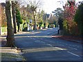
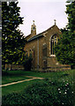
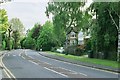
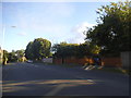
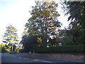
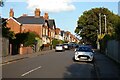

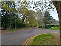
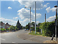

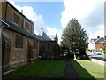
75 photos from this area
Area Information
Key information about the RG4 7BQ including its size, population, and administrative classification.
- Area Type
- Postcode
- Area Size
- 1.1 hectares
- Population
- 1452
- Population Density
- 3749 people/km²
House Prices in RG4 7BQ
16
Properties
£450,095
Average Sold Price
£104,000
Lowest Price
£825,000
Highest Price
Showing 16 properties
| Address | Type | Beds | Baths | Last Sale Price | Last Sale Date | |
|---|---|---|---|---|---|---|
| 53 Highmoor Road, Caversham, Reading, RG4 7BQ | Semi-detached | 4 | - | £499,950 | Jan 2015 | |
| 45 Highmoor Road, Caversham, Reading, RG4 7BQ | house | - | - | £531,000 | Sep 2011 | |
| 43 Highmoor Road, Caversham, Reading, RG4 7BQ | house | - | - | £450,000 | Aug 2011 | |
| 37 Highmoor Road, Caversham, Reading, RG4 7BQ | house | - | - | £790,000 | Mar 2010 | |
| 57 Highmoor Road, Caversham, Reading, RG4 7BQ | Detached | - | - | £540,000 | Jun 2009 | |
| 63 Highmoor Road, Caversham, Reading, RG4 7BQ | Detached | - | - | £825,000 | Jul 2007 | |
| 47 Highmoor Road, Caversham, Reading, RG4 7BQ | Semi-detached | - | - | £340,000 | Aug 2006 | |
| 55 Highmoor Road, Caversham, Reading, RG4 7BQ | house | - | - | £235,000 | Jan 2001 | |
| 59 Highmoor Road, Caversham, Reading, RG4 7BQ | house | - | - | £186,000 | Apr 2000 | |
| 61 Highmoor Road, Caversham, Reading, RG4 7BQ | Semi-detached | - | - | £104,000 | Apr 1996 |
Page 1 of 2
Energy Efficiency in RG4 7BQ
Amenities
Schools
| Rank | School | Type | Entry gender | Ages |
|---|
Explore more schools in this area
Go to Schools tabDemographics
Household Size
Family (3-5 people)
most common
Accommodation Type
Houses
most common
Tenure
91
majority
Ethnic Group
White
most common
Religion
N/A
most common
Household Composition
N/A
most common
Age
47
median
Adults (30-64 years)
most common
Household Deprivation
N/A
with no deprivation
NS-SEC
63
in Lower managerial occupations
Explore more demographic insights in this area
Go to Demographics tabPlanning
Planning Constraints
- Flood RiskPremium
- Ramsar Wetland SitesPremium
- Area of Outstanding Natural BeautyPremium
- Protected Nature ReservePremium
- Protected WoodlandPremium