Area Overview for RG4 6XL
Photos of RG4 6XL
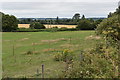
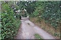
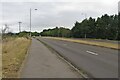
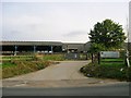
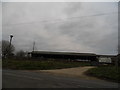
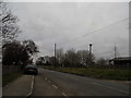
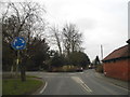
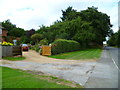
21 photos from this area
Area Information
Key information about the RG4 6XL including its size, population, and administrative classification.
- Area Type
- Postcode
- Area Size
- 2.5 hectares
- Population
- 1615
- Population Density
- 340 people/km²
House Prices in RG4 6XL
50
Properties
£378,409
Average Sold Price
£162,500
Lowest Price
£705,000
Highest Price
Showing 50 properties
| Address | Type | Beds | Baths | Last Sale Price | Last Sale Date | |
|---|---|---|---|---|---|---|
| 24 Little Glebe, Sonning, RG4 6XL | Maisonette | - | - | £270,000 | Nov 2024 | |
| 22 Little Glebe, Sonning, RG4 6XL | Flat | 2 | 1 | £290,000 | Aug 2024 | |
| 33 Little Glebe, Sonning, RG4 6XL | house | - | - | £705,000 | Nov 2021 | |
| 37 Little Glebe, Sonning, RG4 6XL | house | 4 | - | £577,000 | Jun 2019 | |
| 39 Little Glebe, Sonning, RG4 6XL | house | - | - | £445,000 | Nov 2017 | |
| 50 Little Glebe, Sonning, RG4 6XL | house | 3 | - | £535,000 | Jan 2017 | |
| 25 Little Glebe, Sonning, RG4 6XL | Semi-detached | 3 | 2 | £450,000 | Oct 2016 | |
| 35 Little Glebe, Sonning, RG4 6XL | house | - | - | £340,000 | Jan 2013 | |
| 20 Little Glebe, Sonning, RG4 6XL | Flat | - | - | £190,000 | Mar 2012 | |
| 16 Little Glebe, Sonning, RG4 6XL | Maisonette | - | - | £198,000 | Jan 2008 |
Page 1 of 5
Energy Efficiency in RG4 6XL
Amenities
Schools
| Rank | School | Type | Entry gender | Ages |
|---|
Explore more schools in this area
Go to Schools tabDemographics
Household Size
Family (3-5 people)
most common
Accommodation Type
Houses
most common
Tenure
74
majority
Ethnic Group
White
most common
Religion
N/A
most common
Household Composition
N/A
most common
Age
47
median
Adults (30-64 years)
most common
Household Deprivation
N/A
with no deprivation
NS-SEC
53
in Lower managerial occupations
Explore more demographic insights in this area
Go to Demographics tabPlanning
Planning Constraints
- Flood RiskPremium
- Ramsar Wetland SitesPremium
- Area of Outstanding Natural BeautyPremium
- Protected Nature ReservePremium
- Protected WoodlandPremium