Area Overview for RG4 6NX
Photos of RG4 6NX
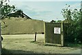
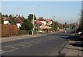
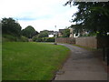
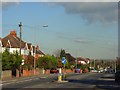
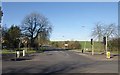
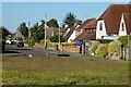
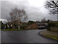
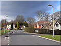
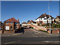
22 photos from this area
Area Information
Key information about the RG4 6NX including its size, population, and administrative classification.
- Area Type
- Postcode
- Area Size
- 7635 m²
- Population
- 1802
- Population Density
- 3256 people/km²
House Prices in RG4 6NX
10
Properties
£228,643
Average Sold Price
£117,500
Lowest Price
£302,000
Highest Price
Showing 10 properties
| Address | Type | Beds | Baths | Last Sale Price | Last Sale Date | |
|---|---|---|---|---|---|---|
| 3 Earlsfield Close, Caversham, Reading, RG4 6NX | house | - | - | £302,000 | Mar 2013 | |
| 6 Earlsfield Close, Caversham, Reading, RG4 6NX | house | - | - | £272,000 | Oct 2012 | |
| 5 Earlsfield Close, Caversham, Reading, RG4 6NX | house | - | - | £243,000 | Oct 2010 | |
| 10 Earlsfield Close, Caversham, Reading, RG4 6NX | Semi-detached | 3 | - | £246,000 | Aug 2010 | |
| 1 Earlsfield Close, Caversham, Reading, RG4 6NX | Detached | - | - | £230,000 | Dec 2009 | |
| 4 Earlsfield Close, Caversham, Reading, RG4 6NX | Detached | - | - | £190,000 | Apr 2004 | |
| 2 Earlsfield Close, Caversham, Reading, RG4 6NX | Detached | 3 | 1 | £117,500 | Oct 1999 | |
| 9 Earlsfield Close, Caversham, Reading, RG4 6NX | house | - | - | - | - | |
| 7 Earlsfield Close, Caversham, Reading, RG4 6NX | Terraced | - | - | - | - | |
| 8 Earlsfield Close, Caversham, Reading, RG4 6NX | Terraced | - | - | - | - |
Energy Efficiency in RG4 6NX
Amenities
Schools
| Rank | School | Type | Entry gender | Ages |
|---|
Explore more schools in this area
Go to Schools tabDemographics
Household Size
Family (3-5 people)
most common
Accommodation Type
Houses
most common
Tenure
81
majority
Ethnic Group
White
most common
Religion
N/A
most common
Household Composition
N/A
most common
Age
47
median
Adults (30-64 years)
most common
Household Deprivation
N/A
with no deprivation
NS-SEC
50
in Lower managerial occupations
Explore more demographic insights in this area
Go to Demographics tabPlanning
Planning Constraints
- Flood RiskPremium
- Ramsar Wetland SitesPremium
- Area of Outstanding Natural BeautyPremium
- Protected Nature ReservePremium
- Protected WoodlandPremium