Area Overview for RG4 6LX
Photos of RG4 6LX
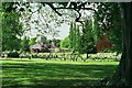
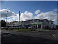
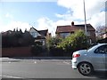
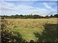
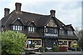
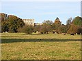

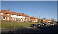
63 photos from this area
Area Information
Key information about the RG4 6LX including its size, population, and administrative classification.
- Area Type
- Postcode
- Area Size
- 2.3 hectares
- Population
- 1802
- Population Density
- 3256 people/km²
House Prices in RG4 6LX
24
Properties
£419,636
Average Sold Price
£115,000
Lowest Price
£692,000
Highest Price
Showing 24 properties
| Address | Type | Beds | Baths | Last Sale Price | Last Sale Date | |
|---|---|---|---|---|---|---|
| Deuxans, Copse Avenue, Caversham, Reading, RG4 6LX | house | - | - | £461,000 | Sep 2021 | |
| 13 Copse Avenue, Caversham, Reading, RG4 6LX | Detached | 4 | 2 | £692,000 | Feb 2020 | |
| 1C Copse Avenue, Caversham, Reading, RG4 6LX | Detached | 3 | 2 | £498,000 | Mar 2018 | |
| 3 Copse Avenue, Caversham, Reading, RG4 6LX | house | - | - | £625,000 | May 2014 | |
| 3A Copse Avenue, Caversham, Reading, RG4 6LX | house | - | - | £420,000 | Sep 2013 | |
| 1B Copse Avenue, Caversham, Reading, RG4 6LX | house | - | - | £340,000 | Jun 2010 | |
| Hilrus, Copse Avenue, Caversham, Reading, RG4 6LX | house | - | - | £405,000 | Aug 2009 | |
| 2 Copse Avenue, Caversham, Reading, RG4 6LX | Detached | - | - | £425,000 | Mar 2007 | |
| 6 Copse Avenue, Caversham, Reading, RG4 6LX | Detached | - | - | £335,000 | May 2004 | |
| 2A Copse Avenue, Caversham, Reading, RG4 6LX | Detached | - | - | £300,000 | Jun 2002 |
Page 1 of 3
Energy Efficiency in RG4 6LX
Amenities
Schools
| Rank | School | Type | Entry gender | Ages |
|---|
Explore more schools in this area
Go to Schools tabDemographics
Household Size
Family (3-5 people)
most common
Accommodation Type
Houses
most common
Tenure
81
majority
Ethnic Group
White
most common
Religion
N/A
most common
Household Composition
N/A
most common
Age
47
median
Adults (30-64 years)
most common
Household Deprivation
N/A
with no deprivation
NS-SEC
50
in Lower managerial occupations
Explore more demographic insights in this area
Go to Demographics tabPlanning
Planning Constraints
- Flood RiskPremium
- Ramsar Wetland SitesPremium
- Area of Outstanding Natural BeautyPremium
- Protected Nature ReservePremium
- Protected WoodlandPremium