Area Overview for RG4 6DS
Photos of RG4 6DS
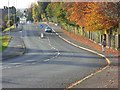
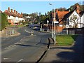
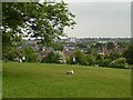
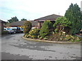
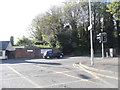
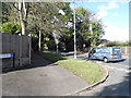
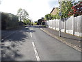
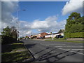
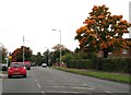
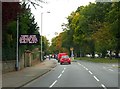
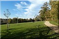
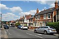
76 photos from this area
Area Information
Key information about the RG4 6DS including its size, population, and administrative classification.
- Area Type
- Postcode
- Area Size
- 2.5 hectares
- Population
- 1593
- Population Density
- 6287 people/km²
House Prices in RG4 6DS
52
Properties
£523,364
Average Sold Price
£200,000
Lowest Price
£920,000
Highest Price
Showing 52 properties
| Address | Type | Beds | Baths | Last Sale Price | Last Sale Date | |
|---|---|---|---|---|---|---|
| 101A Henley Road, Caversham, Reading, RG4 6DS | Bungalow | 4 | 2 | £590,000 | Apr 2025 | |
| 87A Henley Road, Caversham, Reading, RG4 6DS | house | - | - | £780,000 | Aug 2021 | |
| 79 Henley Road, Caversham, Reading, RG4 6DS | Detached | 4 | 2 | £690,000 | Jun 2021 | |
| 11 Henley Road, Caversham, Reading, RG4 6DS | Detached | 3 | 2 | £473,000 | Mar 2018 | |
| 95 Henley Road, Caversham, Reading, RG4 6DS | house | - | - | £920,000 | Feb 2017 | |
| 71 Henley Road, Caversham, Reading, RG4 6DS | Detached | 5 | - | £650,000 | Jan 2014 | |
| 77 Henley Road, Caversham, Reading, RG4 6DS | house | 3 | - | £400,000 | Jul 2013 | |
| 93 Henley Road, Caversham, Reading, RG4 6DS | Terraced | - | - | £455,000 | May 2012 | |
| 71A Henley Road, Caversham, Reading, RG4 6DS | Bungalow | - | - | £319,000 | Sep 2010 | |
| 81 Henley Road, Caversham, Reading, RG4 6DS | Terraced | - | - | £200,000 | Dec 2005 |
Page 1 of 6
Energy Efficiency in RG4 6DS
Amenities
Schools
| Rank | School | Type | Entry gender | Ages |
|---|
Explore more schools in this area
Go to Schools tabDemographics
Household Size
Family (3-5 people)
most common
Accommodation Type
Houses
most common
Tenure
65
majority
Ethnic Group
White
most common
Religion
N/A
most common
Household Composition
N/A
most common
Age
47
median
Adults (30-64 years)
most common
Household Deprivation
N/A
with no deprivation
NS-SEC
49
in Lower managerial occupations
Explore more demographic insights in this area
Go to Demographics tabPlanning
Planning Constraints
- Flood RiskPremium
- Ramsar Wetland SitesPremium
- Area of Outstanding Natural BeautyPremium
- Protected Nature ReservePremium
- Protected WoodlandPremium