Area Overview for RG31 7BP
Photos of RG31 7BP
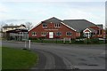
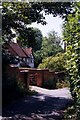
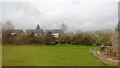
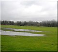
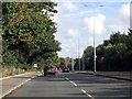
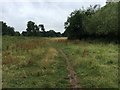
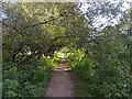
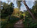
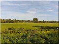
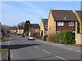
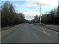
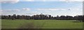
22 photos from this area
Area Information
Key information about the RG31 7BP including its size, population, and administrative classification.
- Area Type
- Postcode
- Area Size
- 1.3 hectares
- Population
- 1470
- Population Density
- 5878 people/km²
House Prices in RG31 7BP
34
Properties
£268,899
Average Sold Price
£128,000
Lowest Price
£512,000
Highest Price
Showing 34 properties
| Address | Type | Beds | Baths | Last Sale Price | Last Sale Date | |
|---|---|---|---|---|---|---|
| 15 Holymead, Calcot, Reading, RG31 7BP | Terraced | 2 | 2 | £347,500 | Nov 2024 | |
| 33 Holymead, Calcot, Reading, RG31 7BP | Flat | - | - | £236,000 | Apr 2024 | |
| 1 Holymead, Calcot, Reading, RG31 7BP | Semi-detached | 3 | 2 | £512,000 | Jun 2023 | |
| 18 Holymead, Calcot, Reading, RG31 7BP | Terraced | 3 | 2 | £365,000 | Oct 2022 | |
| 28 Holymead, Calcot, Reading, RG31 7BP | Flat | 2 | 1 | £221,500 | Sep 2021 | |
| 6 Holymead, Calcot, Reading, RG31 7BP | Semi-detached | 4 | - | £390,000 | Jun 2021 | |
| 7 Holymead, Calcot, Reading, RG31 7BP | house | - | - | £435,000 | Jun 2021 | |
| 3 Holymead, Calcot, Reading, RG31 7BP | house | - | - | £375,000 | Oct 2020 | |
| 23 Holymead, Calcot, Reading, RG31 7BP | Flat | - | - | £182,500 | Sep 2020 | |
| 8 Holymead, Calcot, Reading, RG31 7BP | Semi-detached | 4 | 2 | £393,000 | Dec 2017 |
Page 1 of 4
Energy Efficiency in RG31 7BP
Amenities
Schools
| Rank | School | Type | Entry gender | Ages |
|---|
Explore more schools in this area
Go to Schools tabDemographics
Household Size
Two person
most common
Accommodation Type
Houses
most common
Tenure
60
majority
Ethnic Group
White
most common
Religion
N/A
most common
Household Composition
N/A
most common
Age
47
median
Adults (30-64 years)
most common
Household Deprivation
N/A
with no deprivation
NS-SEC
29
in Lower managerial occupations
Explore more demographic insights in this area
Go to Demographics tabPlanning
Planning Constraints
- Flood RiskPremium
- Ramsar Wetland SitesPremium
- Area of Outstanding Natural BeautyPremium
- Protected Nature ReservePremium
- Protected WoodlandPremium