Area Overview for RG31 6DP
Photos of RG31 6DP
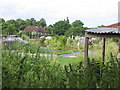
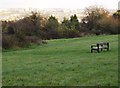
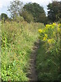
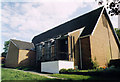
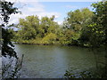
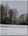
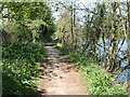
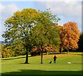


85 photos from this area
Area Information
Key information about the RG31 6DP including its size, population, and administrative classification.
- Area Type
- Postcode
- Area Size
- 1.0 hectares
- Population
- 1671
- Population Density
- 2486 people/km²
House Prices in RG31 6DP
25
Properties
£326,947
Average Sold Price
£103,000
Lowest Price
£499,000
Highest Price
Showing 25 properties
| Address | Type | Beds | Baths | Last Sale Price | Last Sale Date | |
|---|---|---|---|---|---|---|
| 206 Kentwood Hill, Tilehurst, Reading, RG31 6DP | Semi-detached | 3 | 1 | £440,000 | Sep 2024 | |
| 236 Kentwood Hill, Tilehurst, Reading, RG31 6DP | Semi-detached | 3 | 2 | £499,000 | Nov 2022 | |
| 244 Kentwood Hill, Tilehurst, Reading, RG31 6DP | house | - | - | £450,000 | Nov 2022 | |
| 250 Kentwood Hill, Tilehurst, Reading, RG31 6DP | Detached | 3 | 1 | £438,000 | Jul 2022 | |
| 226 Kentwood Hill, Tilehurst, Reading, RG31 6DP | house | - | - | £420,000 | Nov 2021 | |
| 218 Kentwood Hill, Tilehurst, Reading, RG31 6DP | Semi-detached | 3 | 1 | £420,000 | Sep 2021 | |
| 208 Kentwood Hill, Tilehurst, Reading, RG31 6DP | house | - | - | £385,000 | Jun 2021 | |
| 242 Kentwood Hill, Tilehurst, Reading, RG31 6DP | Semi-detached | 3 | 1 | £362,000 | Dec 2020 | |
| 224 Kentwood Hill, Tilehurst, Reading, RG31 6DP | Semi-detached | 3 | 1 | £405,000 | Apr 2019 | |
| 248 Kentwood Hill, Tilehurst, Reading, RG31 6DP | Semi-detached | 4 | - | £402,000 | Apr 2016 |
Page 1 of 3
Energy Efficiency in RG31 6DP
Amenities
Schools
| Rank | School | Type | Entry gender | Ages |
|---|
Explore more schools in this area
Go to Schools tabDemographics
Household Size
Two person
most common
Accommodation Type
Houses
most common
Tenure
85
majority
Ethnic Group
White
most common
Religion
N/A
most common
Household Composition
N/A
most common
Age
47
median
Adults (30-64 years)
most common
Household Deprivation
N/A
with no deprivation
NS-SEC
48
in Lower managerial occupations
Explore more demographic insights in this area
Go to Demographics tabPlanning
Planning Constraints
- Flood RiskPremium
- Ramsar Wetland SitesPremium
- Area of Outstanding Natural BeautyPremium
- Protected Nature ReservePremium
- Protected WoodlandPremium