Area Overview for RG30 3PD
Photos of RG30 3PD
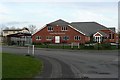
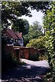
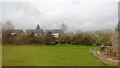
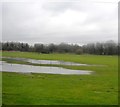
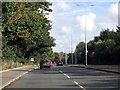
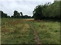

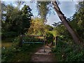
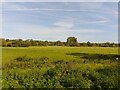
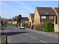
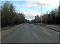

22 photos from this area
Area Information
Key information about the RG30 3PD including its size, population, and administrative classification.
- Area Type
- Postcode
- Area Size
- 3886 m²
- Population
- 1470
- Population Density
- 5878 people/km²
House Prices in RG30 3PD
11
Properties
£206,406
Average Sold Price
£75,000
Lowest Price
£385,000
Highest Price
Showing 11 properties
| Address | Type | Beds | Baths | Last Sale Price | Last Sale Date | |
|---|---|---|---|---|---|---|
| 118 Underwood Road, Calcot, Reading, RG30 3PD | Semi-detached | 3 | 2 | £385,000 | Jan 2024 | |
| 114 Underwood Road, Calcot, Reading, RG30 3PD | Semi-detached | 3 | - | £348,000 | Jan 2022 | |
| 110 Underwood Road, Calcot, Reading, RG30 3PD | Semi-detached | 3 | 1 | £224,000 | Oct 2013 | |
| 124 Underwood Road, Calcot, Reading, RG30 3PD | Detached | - | - | £246,000 | Jun 2011 | |
| 112 Underwood Road, Calcot, Reading, RG30 3PD | Semi-detached | - | - | £173,000 | Feb 2003 | |
| 106 Underwood Road, Calcot, Reading, RG30 3PD | Semi-detached | - | - | £106,000 | May 1999 | |
| 108 Underwood Road, Calcot, Reading, RG30 3PD | Semi-detached | - | - | £94,250 | May 1998 | |
| 120 Underwood Road, Calcot, Reading, RG30 3PD | house | 3 | - | £75,000 | Jan 1997 | |
| 116 Underwood Road, Calcot, Reading, RG30 3PD | Semi-detached | - | - | - | - | |
| 122 Underwood Road, Calcot, Reading, RG30 3PD | Semi-detached | - | - | - | - |
Page 1 of 2
Energy Efficiency in RG30 3PD
Amenities
Schools
| Rank | School | Type | Entry gender | Ages |
|---|
Explore more schools in this area
Go to Schools tabDemographics
Household Size
Two person
most common
Accommodation Type
Houses
most common
Tenure
60
majority
Ethnic Group
White
most common
Religion
N/A
most common
Household Composition
N/A
most common
Age
47
median
Adults (30-64 years)
most common
Household Deprivation
N/A
with no deprivation
NS-SEC
29
in Lower managerial occupations
Explore more demographic insights in this area
Go to Demographics tabPlanning
Planning Constraints
- Flood RiskPremium
- Ramsar Wetland SitesPremium
- Area of Outstanding Natural BeautyPremium
- Protected Nature ReservePremium
- Protected WoodlandPremium