Area Overview for RG30 3NU
Photos of RG30 3NU
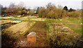
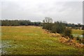
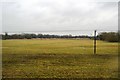
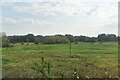
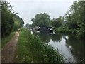
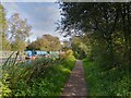
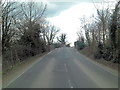
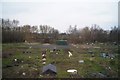
47 photos from this area
Area Information
Key information about the RG30 3NU including its size, population, and administrative classification.
- Area Type
- Postcode
- Area Size
- 9752 m²
- Population
- 1406
- Population Density
- 4376 people/km²
House Prices in RG30 3NU
32
Properties
£213,772
Average Sold Price
£35,000
Lowest Price
£350,000
Highest Price
Showing 32 properties
| Address | Type | Beds | Baths | Last Sale Price | Last Sale Date | |
|---|---|---|---|---|---|---|
| 27 Kestrel Way, Reading, RG30 3NU | Semi-detached | 3 | 1 | £350,000 | Aug 2023 | |
| 4 Kestrel Way, Reading, RG30 3NU | Retail | 3 | 1 | £345,000 | May 2022 | |
| 5 Kestrel Way, Reading, RG30 3NU | house | - | - | £297,000 | Mar 2021 | |
| 28 Kestrel Way, Reading, RG30 3NU | Semi-detached | 3 | 1 | £320,000 | Jul 2018 | |
| 30 Kestrel Way, Reading, RG30 3NU | house | - | - | £188,000 | Apr 2010 | |
| 25 Kestrel Way, Reading, RG30 3NU | Semi-detached | 4 | 2 | £131,950 | May 2002 | |
| 29 Kestrel Way, Reading, RG30 3NU | house | - | - | £132,000 | Oct 2001 | |
| 26 Kestrel Way, Reading, RG30 3NU | house | - | - | £125,000 | Oct 2000 | |
| 2 Kestrel Way, Reading, RG30 3NU | Terraced | - | - | £35,000 | May 1995 | |
| 14 Kestrel Way, Reading, RG30 3NU | Flat | - | - | - | - |
Page 1 of 4
Energy Efficiency in RG30 3NU
Amenities
Schools
| Rank | School | Type | Entry gender | Ages |
|---|
Explore more schools in this area
Go to Schools tabDemographics
Household Size
One person
most common
Accommodation Type
Houses
most common
Tenure
52
majority
Ethnic Group
White
most common
Religion
N/A
most common
Household Composition
N/A
most common
Age
47
median
Adults (30-64 years)
most common
Household Deprivation
N/A
with no deprivation
NS-SEC
29
in Lower managerial occupations
Explore more demographic insights in this area
Go to Demographics tabPlanning
Planning Constraints
- Flood RiskPremium
- Ramsar Wetland SitesPremium
- Area of Outstanding Natural BeautyPremium
- Protected Nature ReservePremium
- Protected WoodlandPremium