Area Overview for RG30 2SH
Photos of RG30 2SH
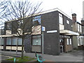


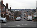

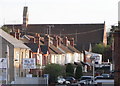
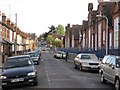
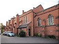

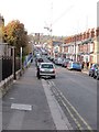
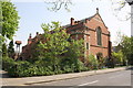
100 photos from this area
Area Information
Key information about the RG30 2SH including its size, population, and administrative classification.
- Area Type
- Postcode
- Area Size
- 2407 m²
- Population
- 2111
- Population Density
- 19456 people/km²
House Prices in RG30 2SH
20
Properties
£200,207
Average Sold Price
£58,000
Lowest Price
£300,000
Highest Price
Showing 20 properties
| Address | Type | Beds | Baths | Last Sale Price | Last Sale Date | |
|---|---|---|---|---|---|---|
| 29 Wantage Road, Reading, RG30 2SH | Terraced | 3 | 2 | £300,000 | Feb 2023 | |
| 31 Wantage Road, Reading, RG30 2SH | Terraced | 3 | 1 | £295,000 | Feb 2021 | |
| 33 Wantage Road, Reading, RG30 2SH | Terraced | 3 | 2 | £295,000 | Jun 2017 | |
| 5 Wantage Road, Reading, RG30 2SH | Flat | 1 | 2 | £143,500 | Feb 2007 | |
| 27 Wantage Road, Reading, RG30 2SH | house | - | - | £174,950 | Feb 2004 | |
| 9 Wantage Road, Reading, RG30 2SH | Detached | - | - | £135,000 | May 1998 | |
| 25 Wantage Road, Reading, RG30 2SH | Terraced | 3 | 1 | £58,000 | Oct 1996 | |
| 37 WANTAGE ROAD, Reading, RG30 2SH | Terraced | - | - | - | - | |
| 3 Wantage Road, Reading, RG30 2SH | Flat | 3 | 1 | - | - | |
| 23 Wantage Road, Reading, RG30 2SH | Flat | - | - | - | - |
Page 1 of 2
Energy Efficiency in RG30 2SH
Amenities
Schools
| Rank | School | Type | Entry gender | Ages |
|---|
Explore more schools in this area
Go to Schools tabDemographics
Household Size
Family (3-5 people)
most common
Accommodation Type
Houses
most common
Tenure
47
majority
Ethnic Group
White
most common
Religion
N/A
most common
Household Composition
N/A
most common
Age
47
median
Adults (30-64 years)
most common
Household Deprivation
N/A
with no deprivation
NS-SEC
27
in Lower managerial occupations
Explore more demographic insights in this area
Go to Demographics tabPlanning
Planning Constraints
- Flood RiskPremium
- Ramsar Wetland SitesPremium
- Area of Outstanding Natural BeautyPremium
- Protected Nature ReservePremium
- Protected WoodlandPremium