Area Overview for RG30 2HT
Photos of RG30 2HT
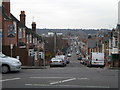
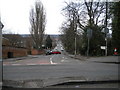
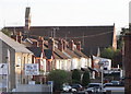
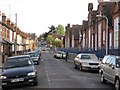
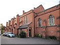
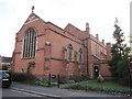
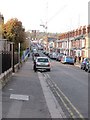
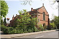
100 photos from this area
Area Information
Key information about the RG30 2HT including its size, population, and administrative classification.
- Area Type
- Postcode
- Area Size
- 5515 m²
- Population
- 1627
- Population Density
- 9921 people/km²
House Prices in RG30 2HT
52
Properties
£189,945
Average Sold Price
£87,995
Lowest Price
£358,500
Highest Price
Showing 52 properties
| Address | Type | Beds | Baths | Last Sale Price | Last Sale Date | |
|---|---|---|---|---|---|---|
| 55 Elm Park, Reading, RG30 2HT | Flat | 2 | 2 | £227,500 | Feb 2025 | |
| 11 Elm Park, Reading, RG30 2HT | Flat | - | - | £225,000 | Mar 2024 | |
| 97 Elm Park, Reading, RG30 2HT | Flat | - | - | £220,000 | Mar 2024 | |
| 27 Elm Park, Reading, RG30 2HT | Flat | 2 | 2 | £220,000 | Oct 2023 | |
| 67 Elm Park, Reading, RG30 2HT | Flat | 2 | 2 | £200,000 | Jun 2023 | |
| 79 Elm Park, Reading, RG30 2HT | Flat | 2 | 2 | £218,000 | May 2023 | |
| 47 Elm Park, Reading, RG30 2HT | Flat | - | - | £235,000 | Feb 2023 | |
| 75 Elm Park, Reading, RG30 2HT | Flat | - | - | £258,250 | Feb 2023 | |
| 31 Elm Park, Reading, RG30 2HT | Flat | - | - | £215,000 | Jan 2023 | |
| 19 Elm Park, Reading, RG30 2HT | Flat | 2 | 2 | £225,000 | Dec 2022 |
Page 1 of 6
Energy Efficiency in RG30 2HT
Amenities
Schools
| Rank | School | Type | Entry gender | Ages |
|---|
Explore more schools in this area
Go to Schools tabDemographics
Household Size
Family (3-5 people)
most common
Accommodation Type
Flats
most common
Tenure
38
majority
Ethnic Group
White
most common
Religion
N/A
most common
Household Composition
N/A
most common
Age
47
median
Adults (30-64 years)
most common
Household Deprivation
N/A
with no deprivation
NS-SEC
30
in Lower managerial occupations
Explore more demographic insights in this area
Go to Demographics tabPlanning
Planning Constraints
- Flood RiskPremium
- Ramsar Wetland SitesPremium
- Area of Outstanding Natural BeautyPremium
- Protected Nature ReservePremium
- Protected WoodlandPremium