Area Overview for RG29 1SR
Photos of RG29 1SR
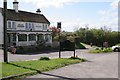
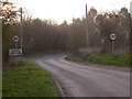
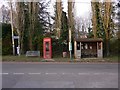
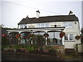
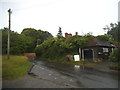
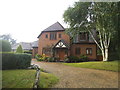
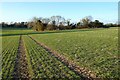

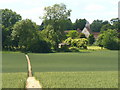

23 photos from this area
Area Information
Key information about the RG29 1SR including its size, population, and administrative classification.
- Area Type
- Postcode
- Area Size
- 15.5 hectares
- Population
- 1649
- Population Density
- 221 people/km²
House Prices in RG29 1SR
11
Properties
£982,917
Average Sold Price
£182,500
Lowest Price
£1,775,000
Highest Price
Showing 11 properties
| Address | Type | Beds | Baths | Last Sale Price | Last Sale Date | |
|---|---|---|---|---|---|---|
| Little Copse, The Street, Long Sutton, Hook, RG29 1SR | Bungalow | 4 | 3 | £925,000 | Sep 2023 | |
| Hyde Cottage, The Street, Long Sutton, Hook, RG29 1SR | house | - | - | £1,775,000 | Nov 2022 | |
| Hyde Corner, The Street, Long Sutton, Hook, RG29 1SR | Semi-detached | - | - | £690,000 | Jul 2012 | |
| The Old Chapel, The Street, Long Sutton, Hook, RG29 1SR | Detached | 5 | 2 | £850,000 | Sep 2007 | |
| Hydegate, The Street, Long Sutton, Hook, RG29 1SR | Detached | 5 | 3 | £1,475,000 | Sep 2005 | |
| Ellens, The Street, Long Sutton, Hook, RG29 1SR | house | - | - | £182,500 | Aug 1998 | |
| The Gables, The Street, Long Sutton, Hook, RG29 1SR | Bungalow | 2 | 1 | - | - | |
| Saulgrove House, The Street, Long Sutton, Hook, RG29 1SR | Detached | 6 | 3 | - | - | |
| Harrow House, The Street, Long Sutton, Hook, RG29 1SR | house | - | - | - | - | |
| Hyde Farm, The Street, Long Sutton, Hook, RG29 1SR | Farm | - | - | - | - |
Page 1 of 2
Energy Efficiency in RG29 1SR
Amenities
Schools
| Rank | School | Type | Entry gender | Ages |
|---|
Explore more schools in this area
Go to Schools tabDemographics
Household Size
Family (3-5 people)
most common
Accommodation Type
Houses
most common
Tenure
25
majority
Ethnic Group
White
most common
Religion
N/A
most common
Household Composition
N/A
most common
Age
22
median
Adults (30-64 years)
most common
Household Deprivation
N/A
with no deprivation
NS-SEC
52
in Lower managerial occupations
Explore more demographic insights in this area
Go to Demographics tabPlanning
Planning Constraints
- Flood RiskPremium
- Ramsar Wetland SitesPremium
- Area of Outstanding Natural BeautyPremium
- Protected Nature ReservePremium
- Protected WoodlandPremium