Area Overview for RG27 0SE
Photos of RG27 0SE
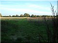
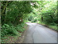
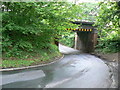
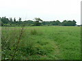
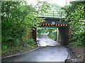
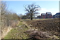
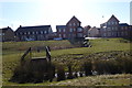
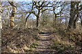
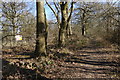
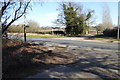
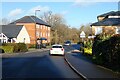
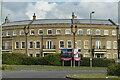
33 photos from this area
Area Information
Key information about the RG27 0SE including its size, population, and administrative classification.
- Area Type
- Postcode
- Area Size
- 1.0 hectares
- Population
- 1643
- Population Density
- 4479 people/km²
House Prices in RG27 0SE
22
Properties
£384,224
Average Sold Price
£123,829
Lowest Price
£625,000
Highest Price
Showing 22 properties
| Address | Type | Beds | Baths | Last Sale Price | Last Sale Date | |
|---|---|---|---|---|---|---|
| 19 Otterbourne Walk, Sherfield On Loddon, RG27 0SE | house | - | - | £485,000 | Aug 2025 | |
| 29 Otterbourne Walk, Sherfield On Loddon, RG27 0SE | Retail | 3 | 2 | £400,000 | Mar 2022 | |
| 27 Otterbourne Walk, Sherfield On Loddon, RG27 0SE | house | - | - | £400,000 | Jun 2021 | |
| 31 Otterbourne Walk, Sherfield On Loddon, RG27 0SE | Detached | 5 | 3 | £545,000 | Nov 2020 | |
| 21 Otterbourne Walk, Sherfield On Loddon, RG27 0SE | house | - | - | £430,000 | Oct 2020 | |
| 41 Otterbourne Walk, Sherfield On Loddon, RG27 0SE | Semi-detached | 4 | 2 | £380,000 | Mar 2020 | |
| 25 Otterbourne Walk, Sherfield On Loddon, RG27 0SE | Detached | 5 | 3 | £625,000 | Aug 2018 | |
| 37 Otterbourne Walk, Sherfield On Loddon, RG27 0SE | Detached | 4 | 2 | £440,000 | May 2018 | |
| 33 Otterbourne Walk, Sherfield On Loddon, RG27 0SE | house | - | - | £580,000 | Jul 2017 | |
| 35 Otterbourne Walk, Sherfield On Loddon, RG27 0SE | Semi-detached | 4 | 2 | £425,000 | May 2017 |
Page 1 of 3
Energy Efficiency in RG27 0SE
Amenities
Schools
| Rank | School | Type | Entry gender | Ages |
|---|
Explore more schools in this area
Go to Schools tabDemographics
Household Size
Two person
most common
Accommodation Type
Houses
most common
Tenure
70
majority
Ethnic Group
White
most common
Religion
N/A
most common
Household Composition
N/A
most common
Age
47
median
Adults (30-64 years)
most common
Household Deprivation
N/A
with no deprivation
NS-SEC
56
in Lower managerial occupations
Explore more demographic insights in this area
Go to Demographics tabPlanning
Planning Constraints
- Flood RiskPremium
- Ramsar Wetland SitesPremium
- Area of Outstanding Natural BeautyPremium
- Protected Nature ReservePremium
- Protected WoodlandPremium