Area Overview for RG27 0LX
Photos of RG27 0LX
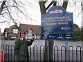
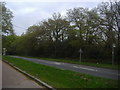
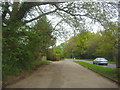
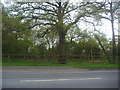
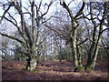
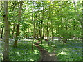
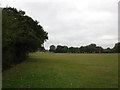
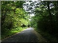
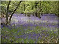
16 photos from this area
Area Information
Key information about the RG27 0LX including its size, population, and administrative classification.
- Area Type
- Postcode
- Area Size
- 10.5 hectares
- Population
- 1705
- Population Density
- 135 people/km²
House Prices in RG27 0LX
7
Properties
£1,762,500
Average Sold Price
£825,000
Lowest Price
£2,700,000
Highest Price
Showing 7 properties
| Address | Type | Beds | Baths | Last Sale Price | Last Sale Date | |
|---|---|---|---|---|---|---|
| Glaston Hill House, Glaston Hill Road, Eversley, Hook, RG27 0LX | Detached | - | - | £2,700,000 | Aug 2021 | |
| Stable Cottage, Glaston Hill Road, Eversley, Hook, RG27 0LX | Detached | 6 | 3 | £825,000 | Jan 2009 | |
| Limetree Cottage, Glaston Hill Road, Eversley, Hook, RG27 0LX | Retail | 6 | 4 | - | - | |
| The Old Village Hall, Reading Road, Eversley, Hook, RG27 0LX | Detached | - | - | - | - | |
| Little Acorns Nursery, Glaston Hill Road, Eversley, Hook, RG27 0LX | commercial | - | - | - | - | |
| Rectory Rooms, Glaston Hill Road, Eversley, Hook, RG27 0LX | Leisure | - | - | - | - | |
| New Rectory, Glaston Hill Road, Eversley, Hook, RG27 0LX | house | - | - | - | - |
Energy Efficiency in RG27 0LX
Amenities
Schools
| Rank | School | Type | Entry gender | Ages |
|---|
Explore more schools in this area
Go to Schools tabDemographics
Household Size
Family (3-5 people)
most common
Accommodation Type
Houses
most common
Tenure
79
majority
Ethnic Group
White
most common
Religion
N/A
most common
Household Composition
N/A
most common
Age
47
median
Adults (30-64 years)
most common
Household Deprivation
N/A
with no deprivation
NS-SEC
48
in Lower managerial occupations
Explore more demographic insights in this area
Go to Demographics tabPlanning
Planning Constraints
- Flood RiskPremium
- Ramsar Wetland SitesPremium
- Area of Outstanding Natural BeautyPremium
- Protected Nature ReservePremium
- Protected WoodlandPremium