Area Overview for RG26 5UJ
Photos of RG26 5UJ
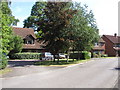
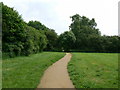
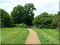
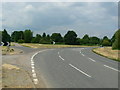
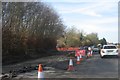
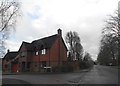
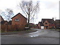
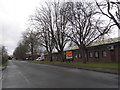
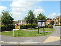
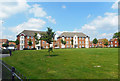
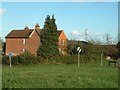
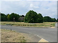
43 photos from this area
Area Information
Key information about the RG26 5UJ including its size, population, and administrative classification.
- Area Type
- Postcode
- Area Size
- 1.8 hectares
- Population
- 2050
- Population Density
- 775 people/km²
House Prices in RG26 5UJ
27
Properties
£227,772
Average Sold Price
£58,950
Lowest Price
£473,000
Highest Price
Showing 27 properties
| Address | Type | Beds | Baths | Last Sale Price | Last Sale Date | |
|---|---|---|---|---|---|---|
| 17 Pond Road, Bramley, RG26 5UJ | Terraced | 2 | 1 | £306,500 | Aug 2023 | |
| 11 Pond Road, Bramley, RG26 5UJ | Detached | 4 | 3 | £473,000 | Jul 2018 | |
| 10 Pond Road, Bramley, RG26 5UJ | Detached | 3 | - | £420,000 | Dec 2017 | |
| 1 Pond Road, Bramley, RG26 5UJ | house | - | - | £371,950 | Apr 2016 | |
| 24 Pond Road, Bramley, RG26 5UJ | Terraced | 2 | 1 | £200,000 | Jun 2014 | |
| 25 Pond Road, Bramley, RG26 5UJ | house | 2 | - | £207,500 | Oct 2013 | |
| 4 Pond Road, Bramley, RG26 5UJ | house | - | - | £305,000 | Nov 2010 | |
| 7 Pond Road, Bramley, RG26 5UJ | Detached | 4 | 2 | £345,000 | Aug 2008 | |
| 26 Pond Road, Bramley, RG26 5UJ | Maisonette | - | - | £165,000 | Aug 2006 | |
| 14 Pond Road, Bramley, RG26 5UJ | Detached | - | - | £335,000 | Sep 2004 |
Page 1 of 3
Energy Efficiency in RG26 5UJ
Amenities
Schools
| Rank | School | Type | Entry gender | Ages |
|---|
Explore more schools in this area
Go to Schools tabDemographics
Household Size
Family (3-5 people)
most common
Accommodation Type
Houses
most common
Tenure
66
majority
Ethnic Group
White
most common
Religion
N/A
most common
Household Composition
N/A
most common
Age
47
median
Adults (30-64 years)
most common
Household Deprivation
N/A
with no deprivation
NS-SEC
46
in Lower managerial occupations
Explore more demographic insights in this area
Go to Demographics tabPlanning
Planning Constraints
- Flood RiskPremium
- Ramsar Wetland SitesPremium
- Area of Outstanding Natural BeautyPremium
- Protected Nature ReservePremium
- Protected WoodlandPremium