Area Overview for RG26 5RN
Photos of RG26 5RN
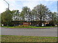
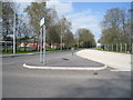
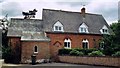

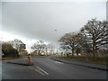
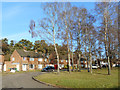
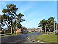
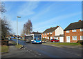
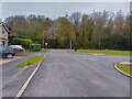
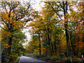

28 photos from this area
Area Information
Key information about the RG26 5RN including its size, population, and administrative classification.
- Area Type
- Postcode
- Area Size
- 5306 m²
- Population
- 1789
- Population Density
- 1455 people/km²
House Prices in RG26 5RN
13
Properties
£357,256
Average Sold Price
£175,000
Lowest Price
£440,000
Highest Price
Showing 13 properties
| Address | Type | Beds | Baths | Last Sale Price | Last Sale Date | |
|---|---|---|---|---|---|---|
| 10 Heath End Farm, Baughurst, RG26 5RN | house | - | - | £440,000 | Feb 2022 | |
| 7 Heath End Farm, Baughurst, RG26 5RN | Semi-detached | 3 | 3 | £368,300 | Mar 2019 | |
| 11 Heath End Farm, Baughurst, RG26 5RN | Detached | 3 | - | £405,000 | Nov 2016 | |
| 3 Heath End Farm, Baughurst, RG26 5RN | Detached | 3 | - | £375,000 | Dec 2015 | |
| 9 Heath End Farm, Baughurst, RG26 5RN | Detached | 5 | 3 | £420,000 | Oct 2015 | |
| 2 Heath End Farm, Baughurst, RG26 5RN | Detached | 4 | - | £380,000 | Feb 2014 | |
| Magnolia House, Heath End Farm, Baughurst, RG26 5RN | house | - | - | £310,000 | Jan 2012 | |
| 1 Heath End Farm, Baughurst, RG26 5RN | Detached | - | - | £342,000 | Aug 2007 | |
| 6 Heath End Farm, Baughurst, RG26 5RN | Semi-detached | - | - | £175,000 | Jun 2001 | |
| Heath End Farm, Heath End Road, Baughurst, RG26 5RN | Detached | - | - | - | - |
Page 1 of 2
Energy Efficiency in RG26 5RN
Amenities
Schools
| Rank | School | Type | Entry gender | Ages |
|---|
Explore more schools in this area
Go to Schools tabDemographics
Household Size
Family (3-5 people)
most common
Accommodation Type
Houses
most common
Tenure
82
majority
Ethnic Group
White
most common
Religion
N/A
most common
Household Composition
N/A
most common
Age
47
median
Adults (30-64 years)
most common
Household Deprivation
N/A
with no deprivation
NS-SEC
41
in Lower managerial occupations
Explore more demographic insights in this area
Go to Demographics tabPlanning
Planning Constraints
- Flood RiskPremium
- Ramsar Wetland SitesPremium
- Area of Outstanding Natural BeautyPremium
- Protected Nature ReservePremium
- Protected WoodlandPremium