Area Overview for RG26 4HG
Photos of RG26 4HG
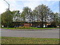
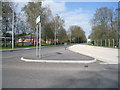
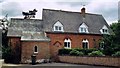
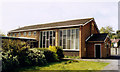
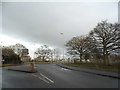
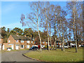
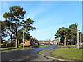
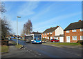
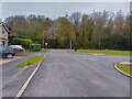
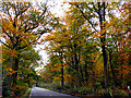
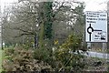
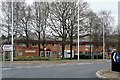
28 photos from this area
Area Information
Key information about the RG26 4HG including its size, population, and administrative classification.
- Area Type
- Postcode
- Area Size
- 1.9 hectares
- Population
- 1893
- Population Density
- 4522 people/km²
House Prices in RG26 4HG
26
Properties
£227,042
Average Sold Price
£70,000
Lowest Price
£485,000
Highest Price
Showing 26 properties
| Address | Type | Beds | Baths | Last Sale Price | Last Sale Date | |
|---|---|---|---|---|---|---|
| 100 Bishopswood Road, Tadley, RG26 4HG | Terraced | 3 | 2 | £309,000 | Sep 2025 | |
| 118 Bishopswood Road, Tadley, RG26 4HG | Semi-detached | 5 | 2 | £485,000 | Feb 2024 | |
| 90 Bishopswood Road, Tadley, RG26 4HG | house | 3 | 1 | £318,000 | Sep 2018 | |
| 106 Bishopswood Road, Tadley, RG26 4HG | Terraced | 3 | 1 | £322,000 | Jul 2018 | |
| 108 Bishopswood Road, Tadley, RG26 4HG | Semi-detached | 3 | 1 | £280,000 | Nov 2015 | |
| 114 Bishopswood Road, Tadley, RG26 4HG | house | - | - | £197,000 | Jan 2010 | |
| 96 Bishopswood Road, Tadley, RG26 4HG | house | - | - | £190,000 | Sep 2009 | |
| 98 Bishopswood Road, Tadley, RG26 4HG | house | - | - | £145,000 | Jun 2009 | |
| 94 Bishopswood Road, Tadley, RG26 4HG | house | - | - | £176,000 | Aug 2004 | |
| 102 Bishopswood Road, Tadley, RG26 4HG | Terraced | - | - | £132,500 | Jun 2001 |
Page 1 of 3
Energy Efficiency in RG26 4HG
Amenities
Schools
| Rank | School | Type | Entry gender | Ages |
|---|
Explore more schools in this area
Go to Schools tabDemographics
Household Size
Family (3-5 people)
most common
Accommodation Type
Houses
most common
Tenure
54
majority
Ethnic Group
White
most common
Religion
N/A
most common
Household Composition
N/A
most common
Age
47
median
Adults (30-64 years)
most common
Household Deprivation
N/A
with no deprivation
NS-SEC
31
in Lower managerial occupations
Explore more demographic insights in this area
Go to Demographics tabPlanning
Planning Constraints
- Flood RiskPremium
- Ramsar Wetland SitesPremium
- Area of Outstanding Natural BeautyPremium
- Protected Nature ReservePremium
- Protected WoodlandPremium