Area Overview for RG26 3AN
Photos of RG26 3AN
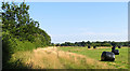
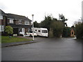
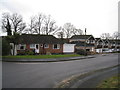
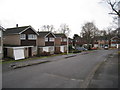
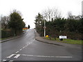
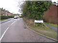
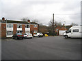
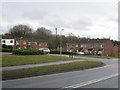
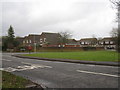
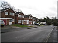
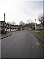
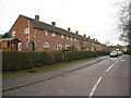
42 photos from this area
Area Information
Key information about the RG26 3AN including its size, population, and administrative classification.
- Area Type
- Postcode
- Area Size
- 2.0 hectares
- Population
- 1174
- Population Density
- 382 people/km²
House Prices in RG26 3AN
27
Properties
£281,888
Average Sold Price
£165,000
Lowest Price
£400,000
Highest Price
Showing 27 properties
| Address | Type | Beds | Baths | Last Sale Price | Last Sale Date | |
|---|---|---|---|---|---|---|
| 68 New Road, Tadley, RG26 3AN | house | - | - | £375,000 | Feb 2022 | |
| Holly Cottage, 74 New Road, Tadley, RG26 3AN | house | - | - | £400,000 | Sep 2021 | |
| 76 New Road, Tadley, RG26 3AN | Semi-detached | 3 | - | £390,000 | Jun 2021 | |
| 54 New Road, Tadley, RG26 3AN | Detached | 4 | - | £341,100 | May 2011 | |
| 86 New Road, Tadley, RG26 3AN | Maisonette | - | - | £170,000 | Jan 2006 | |
| 58 New Road, Tadley, RG26 3AN | Bungalow | - | - | £225,000 | Oct 2003 | |
| 80 New Road, Tadley, RG26 3AN | Detached | - | - | £189,000 | Sep 2001 | |
| 78 New Road, Tadley, RG26 3AN | Detached | - | - | £165,000 | Jul 1998 | |
| 2, Concorde Place, New Road, Tadley, RG26 3AN | Terraced | 1 | 1 | - | - | |
| 52 New Road, Tadley, RG26 3AN | Detached | 3 | 2 | - | - |
Page 1 of 3
Energy Efficiency in RG26 3AN
Amenities
Schools
| Rank | School | Type | Entry gender | Ages |
|---|
Explore more schools in this area
Go to Schools tabDemographics
Household Size
Family (3-5 people)
most common
Accommodation Type
Houses
most common
Tenure
81
majority
Ethnic Group
White
most common
Religion
N/A
most common
Household Composition
N/A
most common
Age
47
median
Adults (30-64 years)
most common
Household Deprivation
N/A
with no deprivation
NS-SEC
41
in Lower managerial occupations
Explore more demographic insights in this area
Go to Demographics tabPlanning
Planning Constraints
- Flood RiskPremium
- Ramsar Wetland SitesPremium
- Area of Outstanding Natural BeautyPremium
- Protected Nature ReservePremium
- Protected WoodlandPremium