Area Overview for RG25 3NT
Photos of RG25 3NT
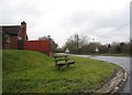
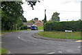
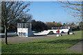
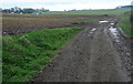
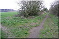
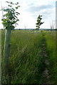
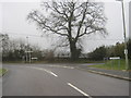
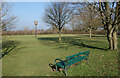
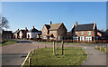
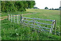
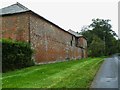
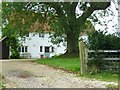
12 photos from this area
Area Information
Key information about the RG25 3NT including its size, population, and administrative classification.
- Area Type
- Postcode
- Area Size
- 7.3 hectares
- Population
- 1610
- Population Density
- 1895 people/km²
House Prices in RG25 3NT
48
Properties
£435,920
Average Sold Price
£300,000
Lowest Price
£675,000
Highest Price
Showing 48 properties
| Address | Type | Beds | Baths | Last Sale Price | Last Sale Date | |
|---|---|---|---|---|---|---|
| 42 Apple Dell View, Overton, RG25 3NT | house | - | - | £509,500 | Sep 2024 | |
| 24 Apple Dell View, Overton, RG25 3NT | house | - | - | £320,000 | Jan 2021 | |
| 28 Apple Dell View, Overton, RG25 3NT | house | - | - | £329,950 | Jan 2021 | |
| 34 Apple Dell View, Overton, RG25 3NT | Detached | 4 | 4 | £569,950 | Jan 2021 | |
| 22 Apple Dell View, Overton, RG25 3NT | house | - | - | £449,950 | Sep 2020 | |
| 18 Apple Dell View, Overton, RG25 3NT | house | - | - | £675,000 | Sep 2020 | |
| 16 Apple Dell View, Overton, RG25 3NT | house | - | - | £449,950 | Aug 2020 | |
| 20 Apple Dell View, Overton, RG25 3NT | house | - | - | £424,950 | Mar 2020 | |
| 43 Apple Dell View, Overton, RG25 3NT | house | - | - | £329,950 | Mar 2020 | |
| 41 Apple Dell View, Overton, RG25 3NT | house | - | - | £300,000 | Dec 2019 |
Page 1 of 5
Energy Efficiency in RG25 3NT
Amenities
Schools
| Rank | School | Type | Entry gender | Ages |
|---|
Explore more schools in this area
Go to Schools tabDemographics
Household Size
Two person
most common
Accommodation Type
Houses
most common
Tenure
67
majority
Ethnic Group
White
most common
Religion
N/A
most common
Household Composition
N/A
most common
Age
47
median
Adults (30-64 years)
most common
Household Deprivation
N/A
with no deprivation
NS-SEC
41
in Lower managerial occupations
Explore more demographic insights in this area
Go to Demographics tabPlanning
Planning Constraints
- Flood RiskPremium
- Ramsar Wetland SitesPremium
- Area of Outstanding Natural BeautyPremium
- Protected Nature ReservePremium
- Protected WoodlandPremium