Area Overview for RG25 2JZ
Photos of RG25 2JZ
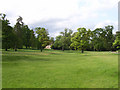
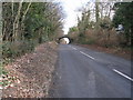
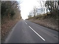
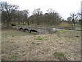
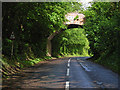
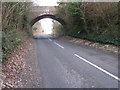
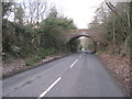
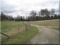
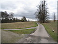
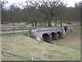
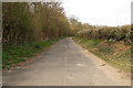
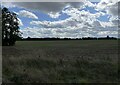
62 photos from this area
Area Information
Key information about the RG25 2JZ including its size, population, and administrative classification.
- Area Type
- Postcode
- Area Size
- 1.3 km²
- Population
- 1432
- Population Density
- 44 people/km²
House Prices in RG25 2JZ
20
Properties
£881,558
Average Sold Price
£353,000
Lowest Price
£2,150,000
Highest Price
Showing 20 properties
| Address | Type | Beds | Baths | Last Sale Price | Last Sale Date | |
|---|---|---|---|---|---|---|
| Mill House, Hackwood Lane, Hackwood Park, Basingstoke, RG25 2JZ | house | - | - | £895,000 | Jun 2021 | |
| Sawmill Yard, Hackwood Lane, Hackwood Park, Basingstoke, RG25 2JZ | Bungalow | - | - | £1,650,000 | Nov 2020 | |
| Home Farm House, Hackwood Lane, Hackwood Park, Basingstoke, RG25 2JZ | Detached | - | - | £2,150,000 | Sep 2018 | |
| The Old Dairy, Hackwood Lane, Hackwood Park, Basingstoke, RG25 2JZ | Detached | 4 | 3 | £925,000 | May 2018 | |
| Barley House, Hackwood Lane, Hackwood Park, Basingstoke, RG25 2JZ | house | 4 | - | £805,000 | Jul 2012 | |
| Garden Cottage, Hackwood Lane, Hackwood Park, Basingstoke, RG25 2JZ | house | 4 | - | £930,000 | Aug 2011 | |
| Rose Cottage, Hackwood Lane, Hackwood Park, Basingstoke, RG25 2JZ | house | 3 | - | £372,260 | Sep 2007 | |
| Dairy Cottage, Hackwood Lane, Hackwood Park, Basingstoke, RG25 2JZ | house | - | - | £353,000 | Jun 2007 | |
| Bridge Lodge, Hackwood Lane, Hackwood Park, Basingstoke, RG25 2JZ | house | - | - | £895,000 | May 2007 | |
| The Old Stables, Hackwood Lane, Hackwood Park, Basingstoke, RG25 2JZ | Detached | - | - | £655,000 | Aug 2006 |
Page 1 of 2
Energy Efficiency in RG25 2JZ
Amenities
Schools
| Rank | School | Type | Entry gender | Ages |
|---|
Explore more schools in this area
Go to Schools tabDemographics
Household Size
Two person
most common
Accommodation Type
Houses
most common
Tenure
75
majority
Ethnic Group
White
most common
Religion
N/A
most common
Household Composition
N/A
most common
Age
47
median
Adults (30-64 years)
most common
Household Deprivation
N/A
with no deprivation
NS-SEC
50
in Lower managerial occupations
Explore more demographic insights in this area
Go to Demographics tabPlanning
Planning Constraints
- Flood RiskPremium
- Ramsar Wetland SitesPremium
- Area of Outstanding Natural BeautyPremium
- Protected Nature ReservePremium
- Protected WoodlandPremium