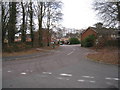
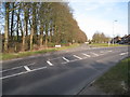
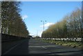
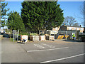
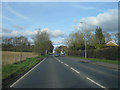
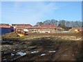
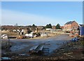
Area Overview for RG24 9TY
Photos of RG24 9TY
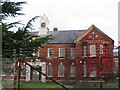
100 photos from this area
Area Information
Key information about the RG24 9TY including its size, population, and administrative classification.
- Area Type
- Postcode
- Area Size
- 7690 m²
- Population
- 2196
- Population Density
- 5777 people/km²
House Prices in RG24 9TY
37
Properties
£208,875
Average Sold Price
£86,000
Lowest Price
£400,000
Highest Price
Showing 37 properties
| Address | Type | Beds | Baths | Last Sale Price | Last Sale Date | |
|---|---|---|---|---|---|---|
| 94 Park Prewett Road, Basingstoke, RG24 9TY | Terraced | 3 | 3 | £400,000 | May 2025 | |
| 154 Park Prewett Road, Basingstoke, RG24 9TY | Flat | - | - | £114,000 | Sep 2021 | |
| 136 Park Prewett Road, Basingstoke, RG24 9TY | Flat | - | - | £161,250 | Apr 2021 | |
| 140 Park Prewett Road, Basingstoke, RG24 9TY | Flat | - | - | £201,000 | May 2016 | |
| 118 Park Prewett Road, Basingstoke, RG24 9TY | house | - | - | £86,000 | Dec 2015 | |
| 116 Park Prewett Road, Basingstoke, RG24 9TY | house | - | - | £100,000 | Jan 2015 | |
| 88 Park Prewett Road, Basingstoke, RG24 9TY | house | - | - | £319,995 | Jul 2011 | |
| 96 Park Prewett Road, Basingstoke, RG24 9TY | house | 3 | - | £247,631 | Jun 2011 | |
| 90 Park Prewett Road, Basingstoke, RG24 9TY | house | - | - | £250,000 | Jun 2011 | |
| 148 Park Prewett Road, Basingstoke, RG24 9TY | Flat | 2 | 1 | - | - |
Page 1 of 4
Energy Efficiency in RG24 9TY
Amenities
Schools
| Rank | School | Type | Entry gender | Ages |
|---|
Explore more schools in this area
Go to Schools tabDemographics
Household Size
Family (3-5 people)
most common
Accommodation Type
Houses
most common
Tenure
54
majority
Ethnic Group
White
most common
Religion
N/A
most common
Household Composition
N/A
most common
Age
47
median
Adults (30-64 years)
most common
Household Deprivation
N/A
with no deprivation
NS-SEC
46
in Lower managerial occupations
Explore more demographic insights in this area
Go to Demographics tabPlanning
Planning Constraints
- Flood RiskPremium
- Ramsar Wetland SitesPremium
- Area of Outstanding Natural BeautyPremium
- Protected Nature ReservePremium
- Protected WoodlandPremium