Area Overview for RG23 8NG
Photos of RG23 8NG
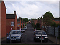
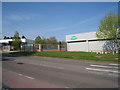
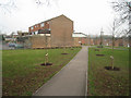
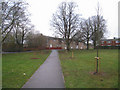
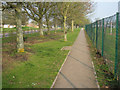
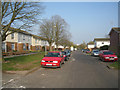
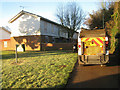
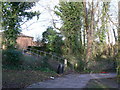
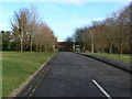
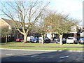
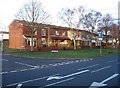
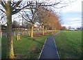
100 photos from this area
Area Information
Key information about the RG23 8NG including its size, population, and administrative classification.
- Area Type
- Postcode
- Area Size
- 2.3 hectares
- Population
- 1519
- Population Density
- 4322 people/km²
House Prices in RG23 8NG
36
Properties
£269,326
Average Sold Price
£86,000
Lowest Price
£455,000
Highest Price
Showing 36 properties
| Address | Type | Beds | Baths | Last Sale Price | Last Sale Date | |
|---|---|---|---|---|---|---|
| 21 Cedar Way, Basingstoke, RG23 8NG | Semi-detached | 3 | 2 | £455,000 | Sep 2025 | |
| 20 Cedar Way, Basingstoke, RG23 8NG | Semi-detached | 3 | - | £385,000 | Mar 2023 | |
| 27 Cedar Way, Basingstoke, RG23 8NG | house | 3 | 1 | £400,000 | Oct 2022 | |
| 16 Cedar Way, Basingstoke, RG23 8NG | house | 3 | - | £401,500 | Oct 2022 | |
| 29 Cedar Way, Basingstoke, RG23 8NG | Detached | 3 | 2 | £350,000 | Jun 2021 | |
| 44 Cedar Way, Basingstoke, RG23 8NG | Semi-detached | 3 | 1 | £315,250 | Nov 2019 | |
| 30 Cedar Way, Basingstoke, RG23 8NG | Semi-detached | 3 | 1 | £322,500 | Feb 2017 | |
| 12 Cedar Way, Basingstoke, RG23 8NG | house | 5 | 1 | £332,500 | Sep 2016 | |
| 2 Cedar Way, Basingstoke, RG23 8NG | Semi-detached | 4 | - | £333,000 | Oct 2015 | |
| 38 Cedar Way, Basingstoke, RG23 8NG | house | 4 | - | £310,000 | Dec 2014 |
Page 1 of 4
Energy Efficiency in RG23 8NG
Amenities
Schools
| Rank | School | Type | Entry gender | Ages |
|---|
Explore more schools in this area
Go to Schools tabDemographics
Household Size
Two person
most common
Accommodation Type
Houses
most common
Tenure
86
majority
Ethnic Group
White
most common
Religion
N/A
most common
Household Composition
N/A
most common
Age
47
median
Adults (30-64 years)
most common
Household Deprivation
N/A
with no deprivation
NS-SEC
34
in Lower managerial occupations
Explore more demographic insights in this area
Go to Demographics tabPlanning
Planning Constraints
- Flood RiskPremium
- Ramsar Wetland SitesPremium
- Area of Outstanding Natural BeautyPremium
- Protected Nature ReservePremium
- Protected WoodlandPremium