Area Overview for RG23 8LW
Photos of RG23 8LW
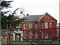
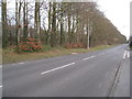
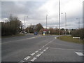
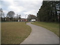
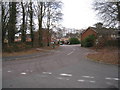
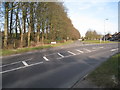
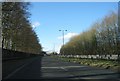
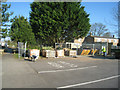
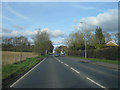
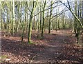
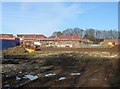
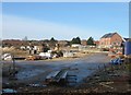
100 photos from this area
Area Information
Key information about the RG23 8LW including its size, population, and administrative classification.
- Area Type
- Postcode
- Area Size
- 1.2 hectares
- Population
- 1519
- Population Density
- 4322 people/km²
House Prices in RG23 8LW
29
Properties
£295,091
Average Sold Price
£76,500
Lowest Price
£550,000
Highest Price
Showing 29 properties
| Address | Type | Beds | Baths | Last Sale Price | Last Sale Date | |
|---|---|---|---|---|---|---|
| 14 Beech Way, Basingstoke, RG23 8LW | Semi-detached | 5 | 2 | £550,000 | Jan 2025 | |
| 46 Beech Way, Basingstoke, RG23 8LW | Semi-detached | 4 | 3 | £465,000 | Dec 2024 | |
| 52 Beech Way, Basingstoke, RG23 8LW | Semi-detached | 3 | 1 | £430,000 | Oct 2024 | |
| 26 Beech Way, Basingstoke, RG23 8LW | Semi-detached | 3 | 1 | £380,000 | Sep 2021 | |
| 8 Beech Way, Basingstoke, RG23 8LW | Semi-detached | 5 | 2 | £425,000 | Feb 2021 | |
| 16 Beech Way, Basingstoke, RG23 8LW | Semi-detached | 3 | 1 | £335,000 | Jul 2018 | |
| 20 Beech Way, Basingstoke, RG23 8LW | house | 5 | - | £367,500 | Dec 2015 | |
| 30 Beech Way, Basingstoke, RG23 8LW | house | - | - | £266,000 | Sep 2014 | |
| 4 Beech Way, Basingstoke, RG23 8LW | house | 4 | - | £249,950 | Jul 2012 | |
| 10 Beech Way, Basingstoke, RG23 8LW | house | 4 | - | £244,000 | Oct 2011 |
Page 1 of 3
Energy Efficiency in RG23 8LW
Amenities
Schools
| Rank | School | Type | Entry gender | Ages |
|---|
Explore more schools in this area
Go to Schools tabDemographics
Household Size
Two person
most common
Accommodation Type
Houses
most common
Tenure
86
majority
Ethnic Group
White
most common
Religion
N/A
most common
Household Composition
N/A
most common
Age
47
median
Adults (30-64 years)
most common
Household Deprivation
N/A
with no deprivation
NS-SEC
34
in Lower managerial occupations
Explore more demographic insights in this area
Go to Demographics tabPlanning
Planning Constraints
- Flood RiskPremium
- Ramsar Wetland SitesPremium
- Area of Outstanding Natural BeautyPremium
- Protected Nature ReservePremium
- Protected WoodlandPremium