Area Overview for RG23 8AN
Photos of RG23 8AN
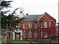
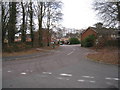
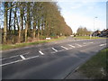
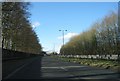
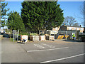
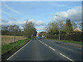
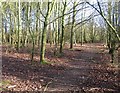
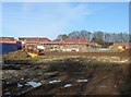
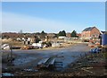
100 photos from this area
Area Information
Key information about the RG23 8AN including its size, population, and administrative classification.
- Area Type
- Postcode
- Area Size
- 2.5 hectares
- Population
- 1323
- Population Density
- 4025 people/km²
House Prices in RG23 8AN
52
Properties
£183,744
Average Sold Price
£44,000
Lowest Price
£300,000
Highest Price
Showing 52 properties
| Address | Type | Beds | Baths | Last Sale Price | Last Sale Date | |
|---|---|---|---|---|---|---|
| 16 Watson Way, Basingstoke, RG23 8AN | Terraced | 3 | 1 | £300,000 | Aug 2025 | |
| 29 Watson Way, Basingstoke, RG23 8AN | Terraced | 3 | 1 | £250,000 | Mar 2025 | |
| 30 Watson Way, Basingstoke, RG23 8AN | Terraced | 4 | 2 | £268,500 | Feb 2024 | |
| 26 Watson Way, Basingstoke, RG23 8AN | Terraced | 3 | 2 | £257,500 | Jan 2023 | |
| 18 Watson Way, Basingstoke, RG23 8AN | Retail | 3 | 1 | £270,500 | Aug 2022 | |
| 25 Watson Way, Basingstoke, RG23 8AN | Terraced | 3 | 2 | £270,000 | Sep 2021 | |
| 1 Watson Way, Basingstoke, RG23 8AN | house | - | - | £260,000 | Jul 2021 | |
| 3 Watson Way, Basingstoke, RG23 8AN | Terraced | 3 | 1 | £231,000 | Aug 2019 | |
| 35 Watson Way, Basingstoke, RG23 8AN | Terraced | 3 | 1 | £220,000 | Sep 2018 | |
| 49 Watson Way, Basingstoke, RG23 8AN | Terraced | 3 | 1 | £243,000 | Aug 2018 |
Page 1 of 6
Energy Efficiency in RG23 8AN
Amenities
Schools
| Rank | School | Type | Entry gender | Ages |
|---|
Explore more schools in this area
Go to Schools tabDemographics
Household Size
Family (3-5 people)
most common
Accommodation Type
Houses
most common
Tenure
48
majority
Ethnic Group
White
most common
Religion
N/A
most common
Household Composition
N/A
most common
Age
47
median
Adults (30-64 years)
most common
Household Deprivation
N/A
with no deprivation
NS-SEC
22
in Lower managerial occupations
Explore more demographic insights in this area
Go to Demographics tabPlanning
Planning Constraints
- Flood RiskPremium
- Ramsar Wetland SitesPremium
- Area of Outstanding Natural BeautyPremium
- Protected Nature ReservePremium
- Protected WoodlandPremium