Area Overview for RG23 7ED
Photos of RG23 7ED
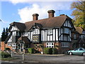
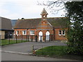
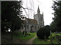
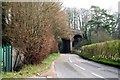
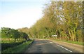
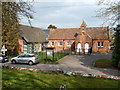
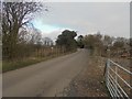
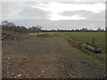
100 photos from this area
Area Information
Key information about the RG23 7ED including its size, population, and administrative classification.
- Area Type
- Postcode
- Area Size
- 44.7 hectares
- Population
- 1568
- Population Density
- 92 people/km²
House Prices in RG23 7ED
18
Properties
£726,667
Average Sold Price
£300,000
Lowest Price
£1,160,000
Highest Price
Showing 18 properties
| Address | Type | Beds | Baths | Last Sale Price | Last Sale Date | |
|---|---|---|---|---|---|---|
| White Cottage, Rectory Road, Oakley, RG23 7ED | Detached | 5 | 3 | £1,160,000 | Mar 2019 | |
| Thatched Cottage, Rectory Road, Oakley, RG23 7ED | Bungalow | 2 | 2 | £300,000 | Jun 2011 | |
| The Barn House, Rectory Road, Oakley, RG23 7ED | Bungalow | - | - | £720,000 | Dec 2006 | |
| Oakley House, Rectory Road, Oakley, RG23 7ED | Detached | 6 | 4 | - | - | |
| 1, Manor Cottages, Rectory Road, Oakley, RG23 7ED | Detached | 3 | 1 | - | - | |
| 2, Manor Cottages, Rectory Road, Oakley, RG23 7ED | Detached | 2 | 1 | - | - | |
| Yewbank, Rectory Road, Oakley, RG23 7ED | Detached | 3 | 1 | - | - | |
| Caravan At The Well House, Rectory Road, Oakley, RG23 7ED | Mobile Home | - | - | - | - | |
| Clarken Green, Andover Road, Oakley, RG23 7ED | Detached | - | - | - | - | |
| Resolution Gb Ltd, Unit 1, Park Farm, Station Road, Oakley, RG23 7ED | Industrial | - | - | - | - |
Page 1 of 2
Energy Efficiency in RG23 7ED
Amenities
Schools
| Rank | School | Type | Entry gender | Ages |
|---|
Explore more schools in this area
Go to Schools tabDemographics
Household Size
Two person
most common
Accommodation Type
Houses
most common
Tenure
64
majority
Ethnic Group
White
most common
Religion
N/A
most common
Household Composition
N/A
most common
Age
47
median
Adults (30-64 years)
most common
Household Deprivation
N/A
with no deprivation
NS-SEC
39
in Lower managerial occupations
Explore more demographic insights in this area
Go to Demographics tabPlanning
Planning Constraints
- Flood RiskPremium
- Ramsar Wetland SitesPremium
- Area of Outstanding Natural BeautyPremium
- Protected Nature ReservePremium
- Protected WoodlandPremium