Area Overview for RG22 6UG
Photos of RG22 6UG
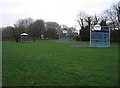
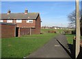
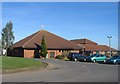
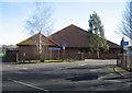
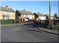
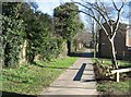
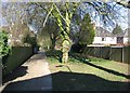
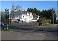
100 photos from this area
Area Information
Key information about the RG22 6UG including its size, population, and administrative classification.
- Area Type
- Postcode
- Area Size
- 7802 m²
- Population
- 1433
- Population Density
- 7900 people/km²
House Prices in RG22 6UG
26
Properties
£163,636
Average Sold Price
£57,000
Lowest Price
£273,000
Highest Price
Showing 26 properties
| Address | Type | Beds | Baths | Last Sale Price | Last Sale Date | |
|---|---|---|---|---|---|---|
| 18 Ballard Close, Basingstoke, RG22 6UG | Terraced | 3 | 1 | £273,000 | Sep 2024 | |
| 14 Ballard Close, Basingstoke, RG22 6UG | house | - | - | £232,000 | May 2021 | |
| 3 Ballard Close, Basingstoke, RG22 6UG | Terraced | 3 | 1 | £265,500 | Jun 2020 | |
| 5A Ballard Close, Basingstoke, RG22 6UG | Terraced | 2 | 2 | £235,000 | Apr 2019 | |
| 5 Ballard Close, Basingstoke, RG22 6UG | Terraced | 2 | 1 | £200,000 | Nov 2018 | |
| 2 Ballard Close, Basingstoke, RG22 6UG | house | - | - | £172,950 | Jun 2014 | |
| 16 Ballard Close, Basingstoke, RG22 6UG | house | 3 | - | £154,000 | Aug 2010 | |
| 17 Ballard Close, Basingstoke, RG22 6UG | Terraced | 3 | 1 | £140,000 | Feb 2010 | |
| 25 Ballard Close, Basingstoke, RG22 6UG | house | - | - | £149,500 | Sep 2006 | |
| 20 Ballard Close, Basingstoke, RG22 6UG | house | - | - | £144,950 | Aug 2006 |
Page 1 of 3
Energy Efficiency in RG22 6UG
Amenities
Schools
| Rank | School | Type | Entry gender | Ages |
|---|
Explore more schools in this area
Go to Schools tabDemographics
Household Size
Family (3-5 people)
most common
Accommodation Type
Houses
most common
Tenure
33
majority
Ethnic Group
White
most common
Religion
N/A
most common
Household Composition
N/A
most common
Age
47
median
Adults (30-64 years)
most common
Household Deprivation
N/A
with no deprivation
NS-SEC
21
in Lower managerial occupations
Explore more demographic insights in this area
Go to Demographics tabPlanning
Planning Constraints
- Flood RiskPremium
- Ramsar Wetland SitesPremium
- Area of Outstanding Natural BeautyPremium
- Protected Nature ReservePremium
- Protected WoodlandPremium