Area Overview for RG22 4PH
Photos of RG22 4PH
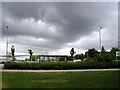
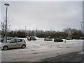
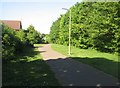
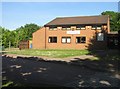
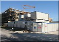
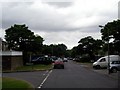
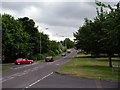
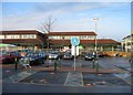
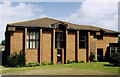
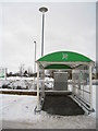
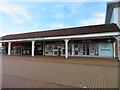
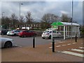
100 photos from this area
Area Information
Key information about the RG22 4PH including its size, population, and administrative classification.
- Area Type
- Postcode
- Area Size
- 2.2 hectares
- Population
- 1458
- Population Density
- 6813 people/km²
House Prices in RG22 4PH
64
Properties
£245,913
Average Sold Price
£57,750
Lowest Price
£525,000
Highest Price
Showing 64 properties
| Address | Type | Beds | Baths | Last Sale Price | Last Sale Date | |
|---|---|---|---|---|---|---|
| 13 Gloucester Drive, Basingstoke, RG22 4PH | Semi-detached | 4 | 2 | £525,000 | Jun 2025 | |
| 5 Gloucester Drive, Basingstoke, RG22 4PH | Semi-detached | 4 | 1 | £410,000 | Jun 2023 | |
| 6 Gloucester Drive, Basingstoke, RG22 4PH | Semi-detached | 4 | 1 | £420,000 | May 2023 | |
| 23 Gloucester Drive, Basingstoke, RG22 4PH | Semi-detached | 3 | 1 | £390,000 | Apr 2022 | |
| 70 Gloucester Drive, Basingstoke, RG22 4PH | Retail | 4 | 3 | £465,000 | Apr 2022 | |
| 54 Gloucester Drive, Basingstoke, RG22 4PH | house | - | - | £289,000 | Apr 2022 | |
| 28 Gloucester Drive, Basingstoke, RG22 4PH | Terraced | 2 | 1 | £290,300 | Feb 2022 | |
| 8 Gloucester Drive, Basingstoke, RG22 4PH | Semi-detached | 3 | 2 | £450,000 | Jan 2022 | |
| 35 Gloucester Drive, Basingstoke, RG22 4PH | house | - | - | £260,000 | Sep 2021 | |
| 80 Gloucester Drive, Basingstoke, RG22 4PH | Terraced | 2 | 1 | £260,000 | Mar 2021 |
Page 1 of 7
Energy Efficiency in RG22 4PH
Amenities
Schools
| Rank | School | Type | Entry gender | Ages |
|---|
Explore more schools in this area
Go to Schools tabDemographics
Household Size
Family (3-5 people)
most common
Accommodation Type
Houses
most common
Tenure
42
majority
Ethnic Group
White
most common
Religion
N/A
most common
Household Composition
N/A
most common
Age
47
median
Adults (30-64 years)
most common
Household Deprivation
N/A
with no deprivation
NS-SEC
27
in Lower managerial occupations
Explore more demographic insights in this area
Go to Demographics tabPlanning
Planning Constraints
- Flood RiskPremium
- Ramsar Wetland SitesPremium
- Area of Outstanding Natural BeautyPremium
- Protected Nature ReservePremium
- Protected WoodlandPremium