Area Overview for RG22 4BP
Photos of RG22 4BP
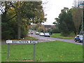
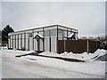
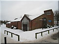
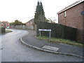
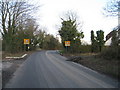
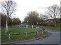
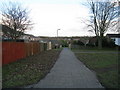
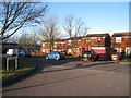
100 photos from this area
Area Information
Key information about the RG22 4BP including its size, population, and administrative classification.
- Area Type
- Postcode
- Area Size
- 7405 m²
- Population
- 1336
- Population Density
- 7683 people/km²
House Prices in RG22 4BP
20
Properties
£217,770
Average Sold Price
£63,000
Lowest Price
£325,000
Highest Price
Showing 20 properties
| Address | Type | Beds | Baths | Last Sale Price | Last Sale Date | |
|---|---|---|---|---|---|---|
| 8 Beethoven Road, Basingstoke, RG22 4BP | Semi-detached | 3 | 1 | £310,000 | Aug 2025 | |
| 2 Beethoven Road, Basingstoke, RG22 4BP | Semi-detached | 3 | 3 | £325,000 | Nov 2022 | |
| 7 Beethoven Road, Basingstoke, RG22 4BP | Semi-detached | 3 | - | £259,950 | Feb 2021 | |
| 12 Beethoven Road, Basingstoke, RG22 4BP | Semi-detached | 3 | - | £300,000 | Nov 2020 | |
| 20 Beethoven Road, Basingstoke, RG22 4BP | Semi-detached | 3 | - | £285,000 | Nov 2020 | |
| 3 Beethoven Road, Basingstoke, RG22 4BP | Semi-detached | 2 | 1 | £240,000 | Jun 2020 | |
| 15 Beethoven Road, Basingstoke, RG22 4BP | Semi-detached | 3 | 1 | £280,000 | Jan 2018 | |
| 16 Beethoven Road, Basingstoke, RG22 4BP | Semi-detached | 3 | 1 | £272,500 | Oct 2017 | |
| 13 Beethoven Road, Basingstoke, RG22 4BP | Semi-detached | 3 | 2 | £284,000 | Nov 2016 | |
| 5 Beethoven Road, Basingstoke, RG22 4BP | house | - | - | £197,000 | May 2015 |
Page 1 of 2
Energy Efficiency in RG22 4BP
Amenities
Schools
| Rank | School | Type | Entry gender | Ages |
|---|
Explore more schools in this area
Go to Schools tabDemographics
Household Size
Family (3-5 people)
most common
Accommodation Type
Houses
most common
Tenure
53
majority
Ethnic Group
White
most common
Religion
N/A
most common
Household Composition
N/A
most common
Age
47
median
Adults (30-64 years)
most common
Household Deprivation
N/A
with no deprivation
NS-SEC
25
in Lower managerial occupations
Explore more demographic insights in this area
Go to Demographics tabPlanning
Planning Constraints
- Flood RiskPremium
- Ramsar Wetland SitesPremium
- Area of Outstanding Natural BeautyPremium
- Protected Nature ReservePremium
- Protected WoodlandPremium