Area Overview for RG20 9RY
Photos of RG20 9RY
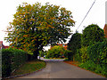
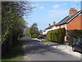
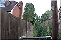
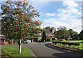
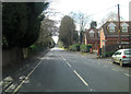
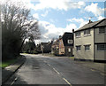
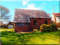
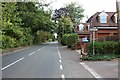

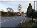
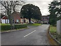
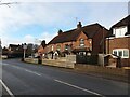
14 photos from this area
Area Information
Key information about the RG20 9RY including its size, population, and administrative classification.
- Area Type
- Postcode
- Area Size
- 43.9 hectares
- Population
- 1634
- Population Density
- 99 people/km²
House Prices in RG20 9RY
19
Properties
£760,210
Average Sold Price
£155,000
Lowest Price
£2,925,000
Highest Price
Showing 19 properties
| Address | Type | Beds | Baths | Last Sale Price | Last Sale Date | |
|---|---|---|---|---|---|---|
| Tewdric House, Westridge, Highclere, RG20 9RY | house | 6 | 3 | £1,400,000 | Jun 2023 | |
| Crowshott Farm, Westridge, Highclere, RG20 9RY | house | 8 | - | £2,925,000 | Dec 2019 | |
| Larch House, Westridge, Highclere, RG20 9RY | Bungalow | 3 | 1 | £1,150,099 | Jun 2015 | |
| Sunnydene, Westridge, Highclere, RG20 9RY | house | - | - | £272,500 | Jul 2009 | |
| Orchard House, Westridge, Highclere, RG20 9RY | house | - | - | £435,000 | Aug 2000 | |
| The New Coach House, Westridge, Highclere, RG20 9RY | Detached | - | - | £265,000 | Aug 2000 | |
| Crowshott Lodge, Westridge, Highclere, RG20 9RY | Bungalow | 3 | 1 | £227,500 | Apr 2000 | |
| Bunkum Cottage, Westridge, Highclere, RG20 9RY | house | - | - | £155,000 | Mar 2000 | |
| 2, Crowshott Cottages, Westridge, Highclere, RG20 9RY | Semi-detached | - | - | £352,000 | Nov 1999 | |
| Westfield House, Westridge, Highclere, RG20 9RY | Detached | 4 | 2 | £420,000 | Jul 1999 |
Page 1 of 2
Energy Efficiency in RG20 9RY
Amenities
Schools
| Rank | School | Type | Entry gender | Ages |
|---|
Explore more schools in this area
Go to Schools tabDemographics
Household Size
Two person
most common
Accommodation Type
Houses
most common
Tenure
76
majority
Ethnic Group
White
most common
Religion
N/A
most common
Household Composition
N/A
most common
Age
47
median
Adults (30-64 years)
most common
Household Deprivation
N/A
with no deprivation
NS-SEC
47
in Lower managerial occupations
Explore more demographic insights in this area
Go to Demographics tabPlanning
Planning Constraints
- Flood RiskPremium
- Ramsar Wetland SitesPremium
- Area of Outstanding Natural BeautyPremium
- Protected Nature ReservePremium
- Protected WoodlandPremium