Area Overview for RG20 9BG
Photos of RG20 9BG
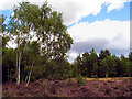
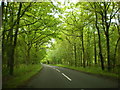
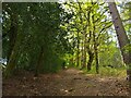
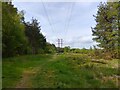
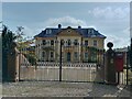
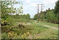
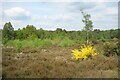
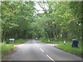
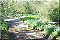
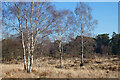
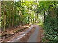
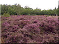
14 photos from this area
Area Information
Key information about the RG20 9BG including its size, population, and administrative classification.
- Area Type
- Postcode
- Area Size
- 9.7 hectares
- Population
- 1528
- Population Density
- 65 people/km²
House Prices in RG20 9BG
26
Properties
£817,252
Average Sold Price
£162,500
Lowest Price
£2,700,000
Highest Price
Showing 26 properties
| Address | Type | Beds | Baths | Last Sale Price | Last Sale Date | |
|---|---|---|---|---|---|---|
| Beechview, Heatherwold, Newtown, RG20 9BG | Semi-detached | 4 | 2 | £680,000 | Jun 2024 | |
| Holt Cottage, Heatherwold, Newtown, RG20 9BG | Detached | 8 | 4 | £962,000 | Aug 2023 | |
| Serenwood Barn, Heatherwold, Newtown, RG20 9BG | Bungalow | 3 | 1 | £575,000 | Apr 2023 | |
| Leylands, Heatherwold, Newtown, RG20 9BG | Bungalow | 4 | 2 | £737,000 | Nov 2022 | |
| Orchard House, Heatherwold, Newtown, RG20 9BG | house | 7 | - | £2,700,000 | Sep 2021 | |
| Pine View, Heatherwold, Newtown, RG20 9BG | house | - | - | £810,000 | Dec 2020 | |
| Fernlea, Heatherwold, Newtown, RG20 9BG | house | - | - | £790,000 | Jun 2016 | |
| Glenwood, Sheepwash Lane, Newtown Common, RG20 9BG | house | - | - | £867,500 | Jul 2011 | |
| Ivydene, Heatherwold, Newtown, RG20 9BG | house | 3 | - | £350,275 | Jul 2010 | |
| Dundledots, Heatherwold, Newtown, RG20 9BG | Detached | - | - | £655,000 | Mar 2010 |
Page 1 of 3
Energy Efficiency in RG20 9BG
Amenities
Schools
| Rank | School | Type | Entry gender | Ages |
|---|
Explore more schools in this area
Go to Schools tabDemographics
Household Size
Two person
most common
Accommodation Type
Houses
most common
Tenure
73
majority
Ethnic Group
White
most common
Religion
N/A
most common
Household Composition
N/A
most common
Age
47
median
Adults (30-64 years)
most common
Household Deprivation
N/A
with no deprivation
NS-SEC
47
in Lower managerial occupations
Explore more demographic insights in this area
Go to Demographics tabPlanning
Planning Constraints
- Flood RiskPremium
- Ramsar Wetland SitesPremium
- Area of Outstanding Natural BeautyPremium
- Protected Nature ReservePremium
- Protected WoodlandPremium