Area Overview for RG20 8QW
Photos of RG20 8QW
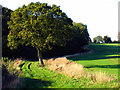
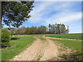
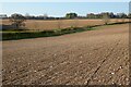
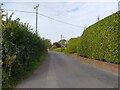
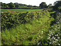

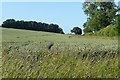
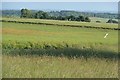

9 photos from this area
Area Information
Key information about the RG20 8QW including its size, population, and administrative classification.
- Area Type
- Postcode
- Area Size
- 97.8 hectares
- Population
- 1728
- Population Density
- 48 people/km²
House Prices in RG20 8QW
23
Properties
£608,516
Average Sold Price
£260,000
Lowest Price
£1,250,000
Highest Price
Showing 23 properties
| Address | Type | Beds | Baths | Last Sale Price | Last Sale Date | |
|---|---|---|---|---|---|---|
| Normanstan, The Thicket, Leckhampstead, Newbury, RG20 8QW | Bungalow | 4 | 1 | £635,000 | Aug 2025 | |
| Thicket House, The Thicket, Leckhampstead, Newbury, RG20 8QW | Detached | 5 | 3 | £1,250,000 | Feb 2024 | |
| Wheatfields, The Thicket, Leckhampstead, Newbury, RG20 8QW | Detached | 3 | 2 | £980,000 | May 2022 | |
| Candleford, The Thicket, Leckhampstead, Newbury, RG20 8QW | Bungalow | - | - | £558,127 | Dec 2021 | |
| Timber Thatch, The Thicket, Leckhampstead, Newbury, RG20 8QW | house | 2 | - | £315,000 | Feb 2013 | |
| Jannaway Cottage, The Thicket, Leckhampstead, Newbury, RG20 8QW | Detached | 4 | 2 | £470,000 | Sep 2011 | |
| The Hollies, The Thicket, Leckhampstead, Newbury, RG20 8QW | house | - | - | £260,000 | Jul 2008 | |
| Field House, The Thicket, Leckhampstead, Newbury, RG20 8QW | house | 6 | - | £400,000 | Nov 1998 | |
| White Cottage, The Thicket, Leckhampstead, Newbury, RG20 8QW | Detached | 1 | 1 | - | - | |
| Ashdown Farm, The Thicket, Leckhampstead, Newbury, RG20 8QW | Detached | 5 | 4 | - | - |
Page 1 of 3
Energy Efficiency in RG20 8QW
Amenities
Schools
| Rank | School | Type | Entry gender | Ages |
|---|
Explore more schools in this area
Go to Schools tabDemographics
Household Size
Two person
most common
Accommodation Type
Houses
most common
Tenure
65
majority
Ethnic Group
White
most common
Religion
N/A
most common
Household Composition
N/A
most common
Age
47
median
Adults (30-64 years)
most common
Household Deprivation
N/A
with no deprivation
NS-SEC
46
in Lower managerial occupations
Explore more demographic insights in this area
Go to Demographics tabPlanning
Planning Constraints
- Flood RiskPremium
- Ramsar Wetland SitesPremium
- Area of Outstanding Natural BeautyPremium
- Protected Nature ReservePremium
- Protected WoodlandPremium