Area Overview for RG20 7BY
Photos of RG20 7BY
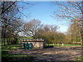
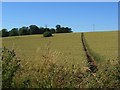
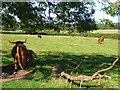
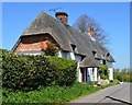
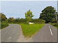
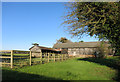
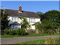
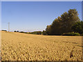
13 photos from this area
Area Information
Key information about the RG20 7BY including its size, population, and administrative classification.
- Area Type
- Postcode
- Area Size
- 57.4 hectares
- Population
- 1425
- Population Density
- 27 people/km²
House Prices in RG20 7BY
8
Properties
£639,673
Average Sold Price
£215,000
Lowest Price
£900,000
Highest Price
Showing 8 properties
| Address | Type | Beds | Baths | Last Sale Price | Last Sale Date | |
|---|---|---|---|---|---|---|
| Sheardon, Pudding Lane, Brightwalton, Newbury, RG20 7BY | Detached | 3 | 2 | £810,000 | Aug 2023 | |
| The Well House, Pudding Lane, Brightwalton, Newbury, RG20 7BY | house | 4 | - | £900,000 | Nov 2011 | |
| The Old Bakehouse, Pudding Lane, Brightwalton, Newbury, RG20 7BY | house | - | - | £798,365 | Dec 2009 | |
| Lavender Cottage, Pudding Lane, Brightwalton, Newbury, RG20 7BY | Detached | - | - | £475,000 | Nov 2005 | |
| Tamarisk, Pudding Lane, Brightwalton, Newbury, RG20 7BY | Detached | - | - | £215,000 | Sep 2001 | |
| Wardsgarth, Pudding Lane, Brightwalton, Newbury, RG20 7BY | Cottage | 3 | 1 | - | - | |
| Field Cottage, Pudding Lane, Brightwalton, Newbury, RG20 7BY | Detached | - | - | - | - | |
| Pudding Lane House, Pudding Lane, Brightwalton, Newbury, RG20 7BY | Detached | - | - | - | - |
Energy Efficiency in RG20 7BY
Amenities
Schools
| Rank | School | Type | Entry gender | Ages |
|---|
Explore more schools in this area
Go to Schools tabDemographics
Household Size
Two person
most common
Accommodation Type
Houses
most common
Tenure
59
majority
Ethnic Group
White
most common
Religion
N/A
most common
Household Composition
N/A
most common
Age
47
median
Adults (30-64 years)
most common
Household Deprivation
N/A
with no deprivation
NS-SEC
41
in Lower managerial occupations
Explore more demographic insights in this area
Go to Demographics tabPlanning
Planning Constraints
- Flood RiskPremium
- Ramsar Wetland SitesPremium
- Area of Outstanding Natural BeautyPremium
- Protected Nature ReservePremium
- Protected WoodlandPremium