Area Overview for RG20 5RQ
Photos of RG20 5RQ
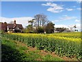
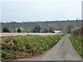
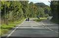
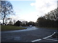
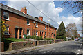
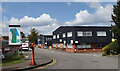
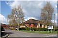
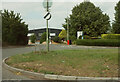
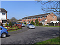
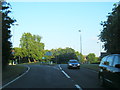
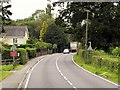
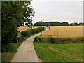
13 photos from this area
Area Information
Key information about the RG20 5RQ including its size, population, and administrative classification.
- Area Type
- Postcode
- Area Size
- 2.9 hectares
- Population
- 1757
- Population Density
- 56 people/km²
House Prices in RG20 5RQ
46
Properties
£136,393
Average Sold Price
£45,000
Lowest Price
£176,500
Highest Price
Showing 46 properties
| Address | Type | Beds | Baths | Last Sale Price | Last Sale Date | |
|---|---|---|---|---|---|---|
| 20 Strokins Road, Kingsclere, RG20 5RQ | Flat | - | - | £152,000 | Jan 2025 | |
| 44 Strokins Road, Kingsclere, RG20 5RQ | Flat | 2 | 1 | £152,500 | Nov 2024 | |
| 58 Strokins Road, Kingsclere, RG20 5RQ | Flat | - | - | £176,500 | Sep 2023 | |
| 80 Strokins Road, Kingsclere, RG20 5RQ | Flat | - | - | £136,000 | Feb 2021 | |
| 10 Strokins Road, Kingsclere, RG20 5RQ | Flat | - | - | £130,000 | Nov 2020 | |
| 70 Strokins Road, Kingsclere, RG20 5RQ | Flat | - | - | £168,000 | Dec 2019 | |
| 52 Strokins Road, Kingsclere, RG20 5RQ | Flat | - | - | £175,000 | Oct 2017 | |
| 18 Strokins Road, Kingsclere, RG20 5RQ | Flat | 2 | 1 | £167,000 | Apr 2016 | |
| 46 Strokins Road, Kingsclere, RG20 5RQ | Flat | 2 | 1 | £166,000 | Feb 2016 | |
| 72 Strokins Road, Kingsclere, RG20 5RQ | Flat | - | - | £121,000 | Oct 2012 |
Page 1 of 5
Energy Efficiency in RG20 5RQ
Amenities
Schools
| Rank | School | Type | Entry gender | Ages |
|---|
Explore more schools in this area
Go to Schools tabDemographics
Household Size
Two person
most common
Accommodation Type
Houses
most common
Tenure
49
majority
Ethnic Group
White
most common
Religion
N/A
most common
Household Composition
N/A
most common
Age
47
median
Adults (30-64 years)
most common
Household Deprivation
N/A
with no deprivation
NS-SEC
36
in Lower managerial occupations
Explore more demographic insights in this area
Go to Demographics tabPlanning
Planning Constraints
- Flood RiskPremium
- Ramsar Wetland SitesPremium
- Area of Outstanding Natural BeautyPremium
- Protected Nature ReservePremium
- Protected WoodlandPremium