Area Overview for RG20 0AE
Photos of RG20 0AE
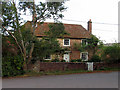
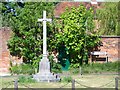
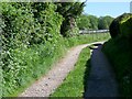

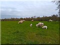
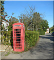
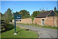
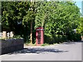
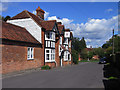

14 photos from this area
Area Information
Key information about the RG20 0AE including its size, population, and administrative classification.
- Area Type
- Postcode
- Area Size
- 10.9 hectares
- Population
- 1370
- Population Density
- 85 people/km²
House Prices in RG20 0AE
9
Properties
£647,500
Average Sold Price
£445,000
Lowest Price
£850,000
Highest Price
Showing 9 properties
| Address | Type | Beds | Baths | Last Sale Price | Last Sale Date | |
|---|---|---|---|---|---|---|
| Stargrove Cottage, Stargrove Lane, East End, RG20 0AE | Cottage | 3 | 1 | £445,000 | Sep 2008 | |
| Stable Cottage, Stargrove Lane, East End, RG20 0AE | house | 2 | - | £850,000 | Mar 2003 | |
| Pump House At, Stargrove Lane, East End, RG20 0AE | Industrial | - | - | - | - | |
| Tennis 165M From Rabbit Pit Farm 120M From Unnamed Road, Stargrove Lane, East Woodhay, RG20 0AE | Leisure | - | - | - | - | |
| Stargroves, Stargrove Lane, East End, RG20 0AE | house | - | - | - | - | |
| Stargrove Lodge, Stargrove Lane, East End, RG20 0AE | Detached | - | - | - | - | |
| The Staff Flat, Stargroves, Stargrove Lane, East End, RG20 0AE | Flat | - | - | - | - | |
| Garden Cottage, Stargrove Lane, East End, RG20 0AE | Bungalow | 5 | - | - | - | |
| The Flat, Stargroves, Stargrove Lane, East End, RG20 0AE | house | - | - | - | - |
Energy Efficiency in RG20 0AE
Amenities
Schools
| Rank | School | Type | Entry gender | Ages |
|---|
Explore more schools in this area
Go to Schools tabDemographics
Household Size
Two person
most common
Accommodation Type
Houses
most common
Tenure
70
majority
Ethnic Group
White
most common
Religion
N/A
most common
Household Composition
N/A
most common
Age
47
median
Adults (30-64 years)
most common
Household Deprivation
N/A
with no deprivation
NS-SEC
48
in Lower managerial occupations
Explore more demographic insights in this area
Go to Demographics tabPlanning
Planning Constraints
- Flood RiskPremium
- Ramsar Wetland SitesPremium
- Area of Outstanding Natural BeautyPremium
- Protected Nature ReservePremium
- Protected WoodlandPremium