Area Overview for RG2 9JA
Photos of RG2 9JA
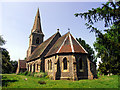
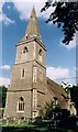
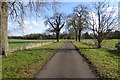
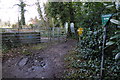
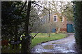
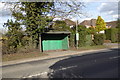
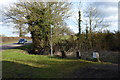
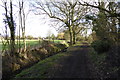
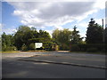
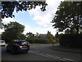
54 photos from this area
Area Information
Key information about the RG2 9JA including its size, population, and administrative classification.
- Area Type
- Postcode
- Area Size
- 13.0 hectares
- Population
- 1592
- Population Density
- 147 people/km²
House Prices in RG2 9JA
22
Properties
£1,077,250
Average Sold Price
£180,000
Lowest Price
£2,500,000
Highest Price
Showing 22 properties
| Address | Type | Beds | Baths | Last Sale Price | Last Sale Date | |
|---|---|---|---|---|---|---|
| Rivendell, Church Lane, Arborfield, RG2 9JA | Detached | 5 | 2 | £1,120,000 | Oct 2023 | |
| Church Cottage, Church Lane, Arborfield, RG2 9JA | Detached | 5 | 4 | £1,150,000 | Oct 2022 | |
| Highwood House, Church Lane, Arborfield, RG2 9JA | Detached | 6 | 6 | £2,500,000 | Oct 2020 | |
| Apple Tree Cottage, Church Lane, Arborfield, RG2 9JA | Bungalow | 4 | 3 | £985,000 | Feb 2020 | |
| The Pheasantries, Church Lane, Arborfield, RG2 9JA | Detached | 5 | 4 | £945,000 | Nov 2019 | |
| Woodpeckers, Church Lane, Arborfield, RG2 9JA | Detached | 5 | 2 | £1,150,000 | May 2019 | |
| Longcroft, Church Lane, Arborfield, RG2 9JA | house | - | - | £1,100,000 | Oct 2015 | |
| Orchard Cottage, Church Lane, Arborfield, RG2 9JA | Detached | 5 | 4 | £1,142,500 | Aug 2012 | |
| Woodside, Church Lane, Arborfield, RG2 9JA | house | - | - | £500,000 | Jun 2009 | |
| Parkhill, Church Lane, Arborfield, RG2 9JA | Detached | - | - | £180,000 | Feb 1996 |
Page 1 of 3
Energy Efficiency in RG2 9JA
Amenities
Schools
| Rank | School | Type | Entry gender | Ages |
|---|
Explore more schools in this area
Go to Schools tabDemographics
Household Size
Family (3-5 people)
most common
Accommodation Type
Houses
most common
Tenure
74
majority
Ethnic Group
White
most common
Religion
N/A
most common
Household Composition
N/A
most common
Age
47
median
Adults (30-64 years)
most common
Household Deprivation
N/A
with no deprivation
NS-SEC
46
in Lower managerial occupations
Explore more demographic insights in this area
Go to Demographics tabPlanning
Planning Constraints
- Flood RiskPremium
- Ramsar Wetland SitesPremium
- Area of Outstanding Natural BeautyPremium
- Protected Nature ReservePremium
- Protected WoodlandPremium