Area Overview for RG2 0FU
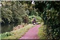
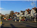
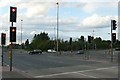
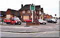
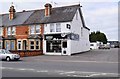
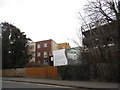
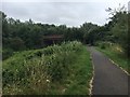
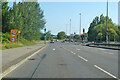
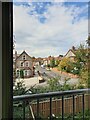
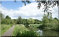
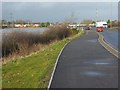
Photos of RG2 0FU

Area Information
RG2 0FU is a compact residential postcode area in England, covering just 855 square metres and home to 1,389 people. Its high population density of 1.6 million people per square kilometre reflects a tightly packed, small-scale community. The area is defined by its cluster of flats, which dominate the housing stock. While it lacks the sprawling character of larger towns, its proximity to rail networks and retail hubs offers practical convenience. Daily life here is shaped by its proximity to Reading’s infrastructure, with residents able to access major amenities within short distances. The area’s small size means it is likely to feel intimate, though the high density may also mean limited green space. For those seeking a compact, well-connected living environment, RG2 0FU offers a blend of accessibility and simplicity, though its character is defined by its constraints and immediate surroundings.
- Area Type
- Postcode
- Area Size
- 855 m²
- Population
- 1389
- Population Density
- 8166 people/km²
The property market in RG2 0FU is characterised by a low home ownership rate of 26%, suggesting that the area is primarily a rental market rather than one dominated by owner-occupied homes. The accommodation type is exclusively flats, which may appeal to individuals or couples seeking compact, manageable living spaces. Given the area’s small size and high density, the housing stock is limited, and the immediate surroundings may offer few alternative options for buyers. For those considering purchasing, the focus would likely be on investment potential or long-term rental yields, as owner-occupation appears less common here. The lack of larger properties or detached homes further reinforces the area’s suitability for those prioritising convenience over space.
House Prices in RG2 0FU
Showing 30 properties
Energy Efficiency in RG2 0FU
Living in RG2 0FU offers access to essential retail and transport hubs within practical reach. Nearby shops include Morrisons Whitley, Aldi Whitley, and Makro Reading, providing a range of grocery and household needs. The proximity to multiple railway stations—Reading West, Reading, and Earley—enhances connectivity, enabling easy travel to surrounding areas. While the data does not mention parks or leisure facilities, the area’s compact nature suggests that residents may rely on nearby towns for recreational activities. The availability of major retail chains and rail links contributes to a functional lifestyle, though the lack of specific details on local amenities means the area’s character beyond these basics remains unclear.
Amenities
Schools
| Rank | School | Type | Entry gender | Ages |
|---|
Explore more schools in this area
Go to Schools tabDemographics
The community in RG2 0FU is predominantly composed of adults aged 30–64, with a median age of 47. This suggests a mature population, likely including professionals, families, and retirees. Home ownership is relatively low at 26%, indicating that most residents are likely to be renting. The accommodation type is exclusively flats, reflecting a lack of larger family homes or detached properties. The predominant ethnic group is White, though no specific diversity statistics are provided. The age profile and housing stock suggest a stable, long-term resident base rather than a transient population. The absence of data on deprivation or income levels means the area’s quality of life cannot be fully assessed, but the demographic profile implies a community focused on practical living rather than luxury or high-end amenities.
Household Size
Accommodation Type
Tenure
Ethnic Group
Religion
Household Composition
Age
Household Deprivation
NS-SEC
Explore more demographic insights in this area
Go to Demographics tabPlanning
Planning Constraints
- Flood RiskPremium
- Ramsar Wetland SitesPremium
- Area of Outstanding Natural BeautyPremium
- Protected Nature ReservePremium
- Protected WoodlandPremium