Area Overview for RG19 8BR
Photos of RG19 8BR
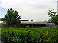
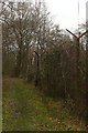
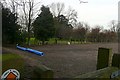
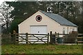
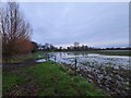

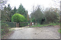
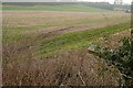
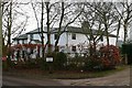
14 photos from this area
Area Information
Key information about the RG19 8BR including its size, population, and administrative classification.
- Area Type
- Postcode
- Area Size
- 80.3 hectares
- Population
- 2855
- Population Density
- 265 people/km²
House Prices in RG19 8BR
10
Properties
£690,333
Average Sold Price
£320,000
Lowest Price
£1,050,000
Highest Price
Showing 10 properties
| Address | Type | Beds | Baths | Last Sale Price | Last Sale Date | |
|---|---|---|---|---|---|---|
| White Lodge, Crookham Common Road, Crookham Common, Thatcham, RG19 8BR | Bungalow | 2 | 1 | £880,000 | Aug 2021 | |
| Limberdell, Crookham Common Road, Crookham Common, Thatcham, RG19 8BR | Detached | 4 | 4 | £1,050,000 | Jun 2019 | |
| Forest View, Crookham Common Road, Crookham Common, Thatcham, RG19 8BR | Detached | 4 | 2 | £800,000 | Feb 2019 | |
| Woodlands, Crookham Common Road, Crookham Common, Thatcham, RG19 8BR | Detached | 4 | 2 | £725,000 | May 2018 | |
| The Dairy, Crookham Common Road, Crookham Common, Thatcham, RG19 8BR | Bungalow | - | - | £320,000 | May 2018 | |
| Thatched Cottage, Crookham Common Road, Crookham Common, Thatcham, RG19 8BR | Detached | 4 | 2 | £367,000 | Jun 1995 | |
| 3, Laundry Cottages, Crookham Common Road, Crookham Common, Thatcham, RG19 8BR | Terraced | 4 | 2 | - | - | |
| 1, Laundry Cottages, Crookham Common Road, Crookham Common, Thatcham, RG19 8BR | house | 3 | 1 | - | - | |
| The Annexe At, Thatched Cottage, Crookham Common Road, Crookham Common, Thatcham, RG19 8BR | Flat | - | - | - | - | |
| 2, Laundry Cottages, Crookham Common Road, Crookham Common, Thatcham, RG19 8BR | Terraced | - | - | - | - |
Energy Efficiency in RG19 8BR
Amenities
Schools
| Rank | School | Type | Entry gender | Ages |
|---|
Explore more schools in this area
Go to Schools tabDemographics
Household Size
Family (3-5 people)
most common
Accommodation Type
Houses
most common
Tenure
75
majority
Ethnic Group
White
most common
Religion
N/A
most common
Household Composition
N/A
most common
Age
47
median
Adults (30-64 years)
most common
Household Deprivation
N/A
with no deprivation
NS-SEC
40
in Lower managerial occupations
Explore more demographic insights in this area
Go to Demographics tabPlanning
Planning Constraints
- Flood RiskPremium
- Ramsar Wetland SitesPremium
- Area of Outstanding Natural BeautyPremium
- Protected Nature ReservePremium
- Protected WoodlandPremium