Area Overview for RG19 3XX
Photos of RG19 3XX
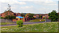
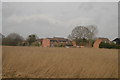
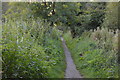
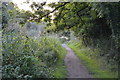
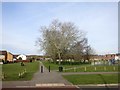
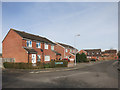
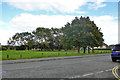
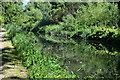
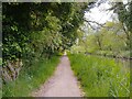
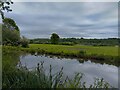
27 photos from this area
Area Information
Key information about the RG19 3XX including its size, population, and administrative classification.
- Area Type
- Postcode
- Area Size
- 1.6 hectares
- Population
- 1393
- Population Density
- 6199 people/km²
House Prices in RG19 3XX
28
Properties
£247,250
Average Sold Price
£48,950
Lowest Price
£499,950
Highest Price
Showing 28 properties
| Address | Type | Beds | Baths | Last Sale Price | Last Sale Date | |
|---|---|---|---|---|---|---|
| 18 Spurcroft Road, Thatcham, RG19 3XX | Detached | 2 | 1 | £308,750 | Sep 2025 | |
| 23 Spurcroft Road, Thatcham, RG19 3XX | Semi-detached | 3 | 1 | £335,000 | Jul 2023 | |
| 24 Spurcroft Road, Thatcham, RG19 3XX | Detached | 4 | 2 | £490,000 | Jun 2023 | |
| 15 Spurcroft Road, Thatcham, RG19 3XX | house | - | - | £499,950 | Aug 2022 | |
| 5 Spurcroft Road, Thatcham, RG19 3XX | Terraced | 1 | 1 | £214,750 | Aug 2022 | |
| 8 Spurcroft Road, Thatcham, RG19 3XX | Detached | 3 | 2 | £375,000 | Jun 2021 | |
| 25 Spurcroft Road, Thatcham, RG19 3XX | house | - | - | £343,000 | Apr 2021 | |
| 22 Spurcroft Road, Thatcham, RG19 3XX | Semi-detached | 2 | - | £227,950 | Apr 2015 | |
| 16 Spurcroft Road, Thatcham, RG19 3XX | Semi-detached | 2 | - | £214,950 | Dec 2013 | |
| 19 Spurcroft Road, Thatcham, RG19 3XX | house | 1 | 1 | £141,000 | Nov 2013 |
Page 1 of 3
Energy Efficiency in RG19 3XX
Amenities
Schools
| Rank | School | Type | Entry gender | Ages |
|---|
Explore more schools in this area
Go to Schools tabDemographics
Household Size
Two person
most common
Accommodation Type
Houses
most common
Tenure
65
majority
Ethnic Group
White
most common
Religion
N/A
most common
Household Composition
N/A
most common
Age
47
median
Adults (30-64 years)
most common
Household Deprivation
N/A
with no deprivation
NS-SEC
35
in Lower managerial occupations
Explore more demographic insights in this area
Go to Demographics tabPlanning
Planning Constraints
- Flood RiskPremium
- Ramsar Wetland SitesPremium
- Area of Outstanding Natural BeautyPremium
- Protected Nature ReservePremium
- Protected WoodlandPremium