Area Overview for RG18 9SD
Photos of RG18 9SD
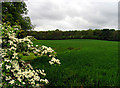
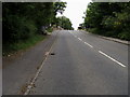
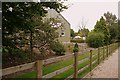
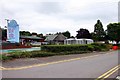

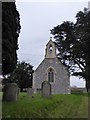
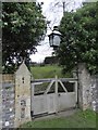
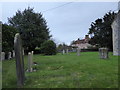
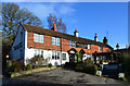
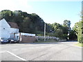
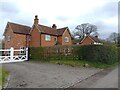
28 photos from this area
Area Information
Key information about the RG18 9SD including its size, population, and administrative classification.
- Area Type
- Postcode
- Area Size
- 65.6 hectares
- Population
- 3265
- Population Density
- 333 people/km²
House Prices in RG18 9SD
19
Properties
£667,083
Average Sold Price
£487,500
Lowest Price
£960,000
Highest Price
Showing 19 properties
| Address | Type | Beds | Baths | Last Sale Price | Last Sale Date | |
|---|---|---|---|---|---|---|
| Lark Rise, Manor Lane, Oare, Hermitage, RG18 9SD | house | - | - | £625,000 | Mar 2025 | |
| Oare Cottage, Manor Lane, Oare, Hermitage, RG18 9SD | Land | - | - | £960,000 | Nov 2023 | |
| Chaucers, Manor Lane, Oare, Hermitage, RG18 9SD | Detached | 4 | - | £487,500 | Dec 2013 | |
| The Granary, Manor Lane, Oare, Hermitage, RG18 9SD | Detached | 5 | 3 | £635,000 | Jul 2010 | |
| Turners Cottage, Manor Lane, Oare, Hermitage, RG18 9SD | Detached | - | - | £695,000 | Sep 2007 | |
| Roean Cottage, Manor Lane, Oare, Hermitage, RG18 9SD | Detached | - | - | £600,000 | Dec 2006 | |
| Oare Farmhouse, Manor Lane, Oare, Hermitage, RG18 9SD | Detached | 5 | 2 | - | - | |
| Merryfield, Manor Farm, Manor Lane, Oare, Hermitage, RG18 9SD | Terraced | 4 | 2 | - | - | |
| East Barn, Manor Farm, Manor Lane, Oare, Hermitage, RG18 9SD | Terraced | 3 | 2 | - | - | |
| The Old Dairy, Manor Farm, Manor Lane, Oare, Hermitage, RG18 9SD | Semi-detached | 5 | 2 | - | - |
Page 1 of 2
Energy Efficiency in RG18 9SD
Amenities
Schools
| Rank | School | Type | Entry gender | Ages |
|---|
Explore more schools in this area
Go to Schools tabDemographics
Household Size
Family (3-5 people)
most common
Accommodation Type
Houses
most common
Tenure
78
majority
Ethnic Group
White
most common
Religion
N/A
most common
Household Composition
N/A
most common
Age
47
median
Adults (30-64 years)
most common
Household Deprivation
N/A
with no deprivation
NS-SEC
49
in Lower managerial occupations
Explore more demographic insights in this area
Go to Demographics tabPlanning
Planning Constraints
- Flood RiskPremium
- Ramsar Wetland SitesPremium
- Area of Outstanding Natural BeautyPremium
- Protected Nature ReservePremium
- Protected WoodlandPremium