Area Overview for RG18 9QQ
Photos of RG18 9QQ
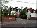
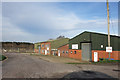
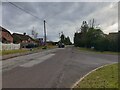
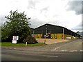
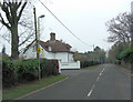
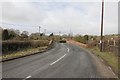
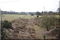
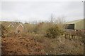
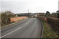
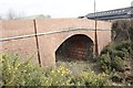
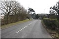
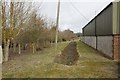
23 photos from this area
Area Information
Key information about the RG18 9QQ including its size, population, and administrative classification.
- Area Type
- Postcode
- Area Size
- 11.1 hectares
- Population
- 3265
- Population Density
- 333 people/km²
House Prices in RG18 9QQ
7
Properties
£1,129,500
Average Sold Price
£662,500
Lowest Price
£1,325,000
Highest Price
Showing 7 properties
| Address | Type | Beds | Baths | Last Sale Price | Last Sale Date | |
|---|---|---|---|---|---|---|
| Fencewood Cottage, Slanting Hill, Hermitage, Thatcham, RG18 9QQ | Detached | 4 | 2 | £1,300,000 | May 2025 | |
| Heatherways, Slanting Hill, Hermitage, Thatcham, RG18 9QQ | Detached | 4 | 2 | £1,090,000 | Aug 2023 | |
| Spindleberry Wood, Slanting Hill, Hermitage, Thatcham, RG18 9QQ | Bungalow | 4 | 3 | £1,270,000 | Sep 2022 | |
| Birchlands, Slanting Hill, Hermitage, Thatcham, RG18 9QQ | house | - | - | £662,500 | Nov 2016 | |
| Davenham House, Slanting Hill, Hermitage, Thatcham, RG18 9QQ | house | - | - | £1,325,000 | May 2010 | |
| Fencewood House, Slanting Hill, Hermitage, Thatcham, RG18 9QQ | house | 7 | - | - | - | |
| Caravan At, Fencewood Cottage, Slanting Hill, Hermitage, Thatcham, RG18 9QQ | Mobile Home | - | - | - | - |
Energy Efficiency in RG18 9QQ
Amenities
Schools
| Rank | School | Type | Entry gender | Ages |
|---|
Explore more schools in this area
Go to Schools tabDemographics
Household Size
Family (3-5 people)
most common
Accommodation Type
Houses
most common
Tenure
78
majority
Ethnic Group
White
most common
Religion
N/A
most common
Household Composition
N/A
most common
Age
47
median
Adults (30-64 years)
most common
Household Deprivation
N/A
with no deprivation
NS-SEC
49
in Lower managerial occupations
Explore more demographic insights in this area
Go to Demographics tabPlanning
Planning Constraints
- Flood RiskPremium
- Ramsar Wetland SitesPremium
- Area of Outstanding Natural BeautyPremium
- Protected Nature ReservePremium
- Protected WoodlandPremium